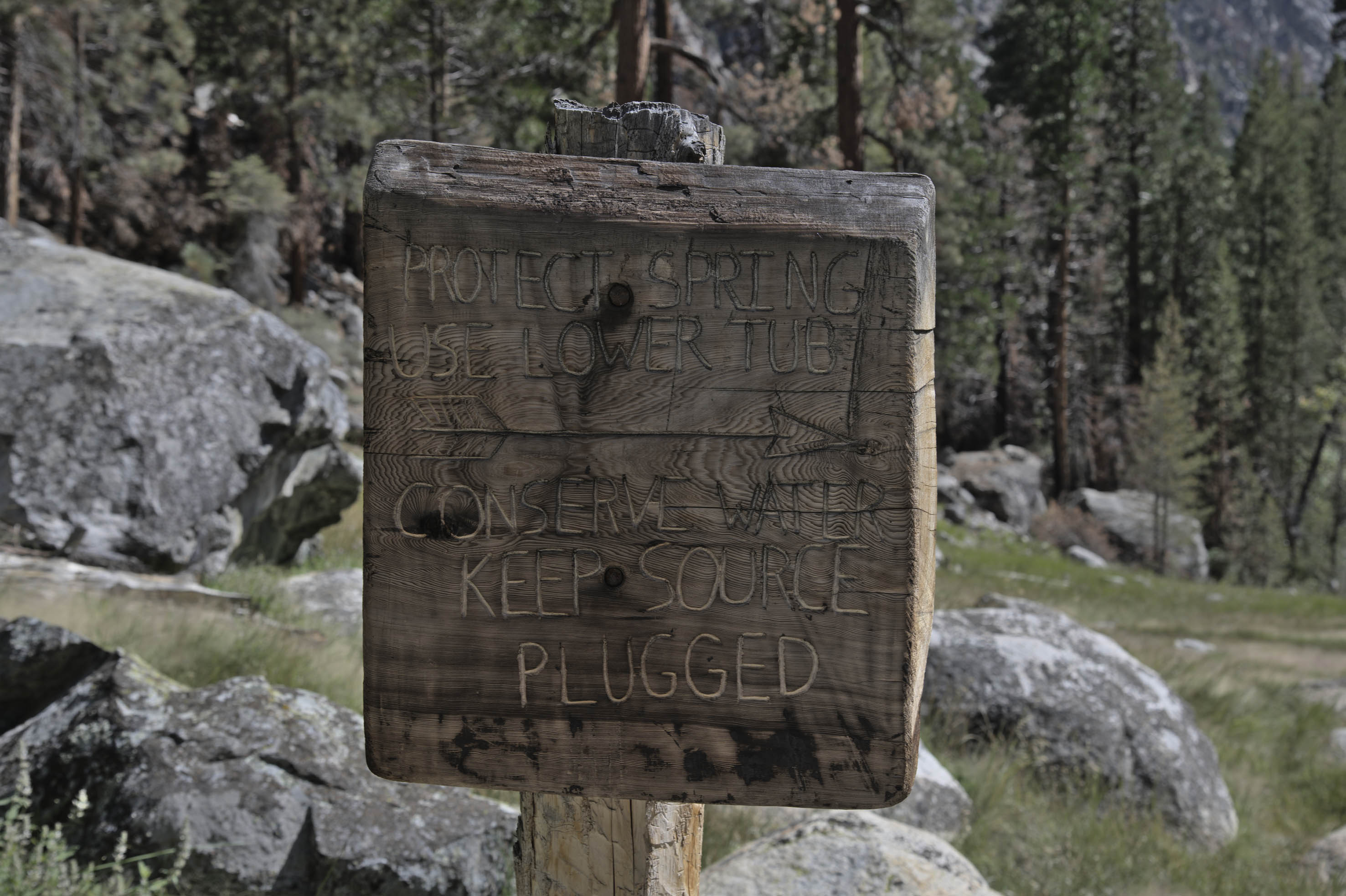
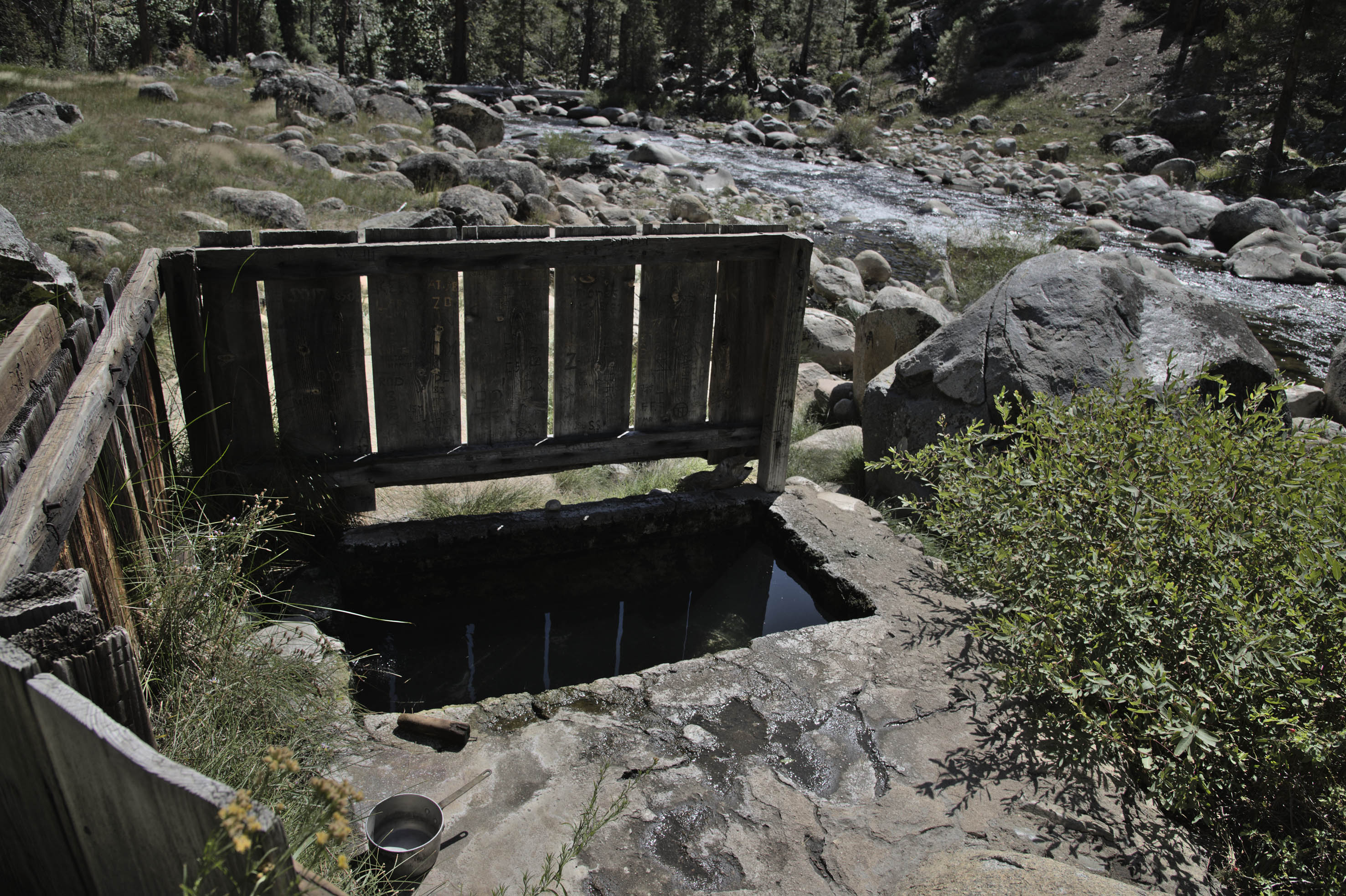
There is a steaming concrete bathtub and a pot beside the icy Kern River. This is a much-anticipated rest point where hikers wash away the aches from gruelling days crossing the Sierra Nevada. Some choose to alternate between hot and cold soaks while others are content with mixing river water to get to the desired temperature. Many admire the beauty of the mountains while gazing at leaning tall pines, steep canyon walls and the sound of the occasional secret aircraft.
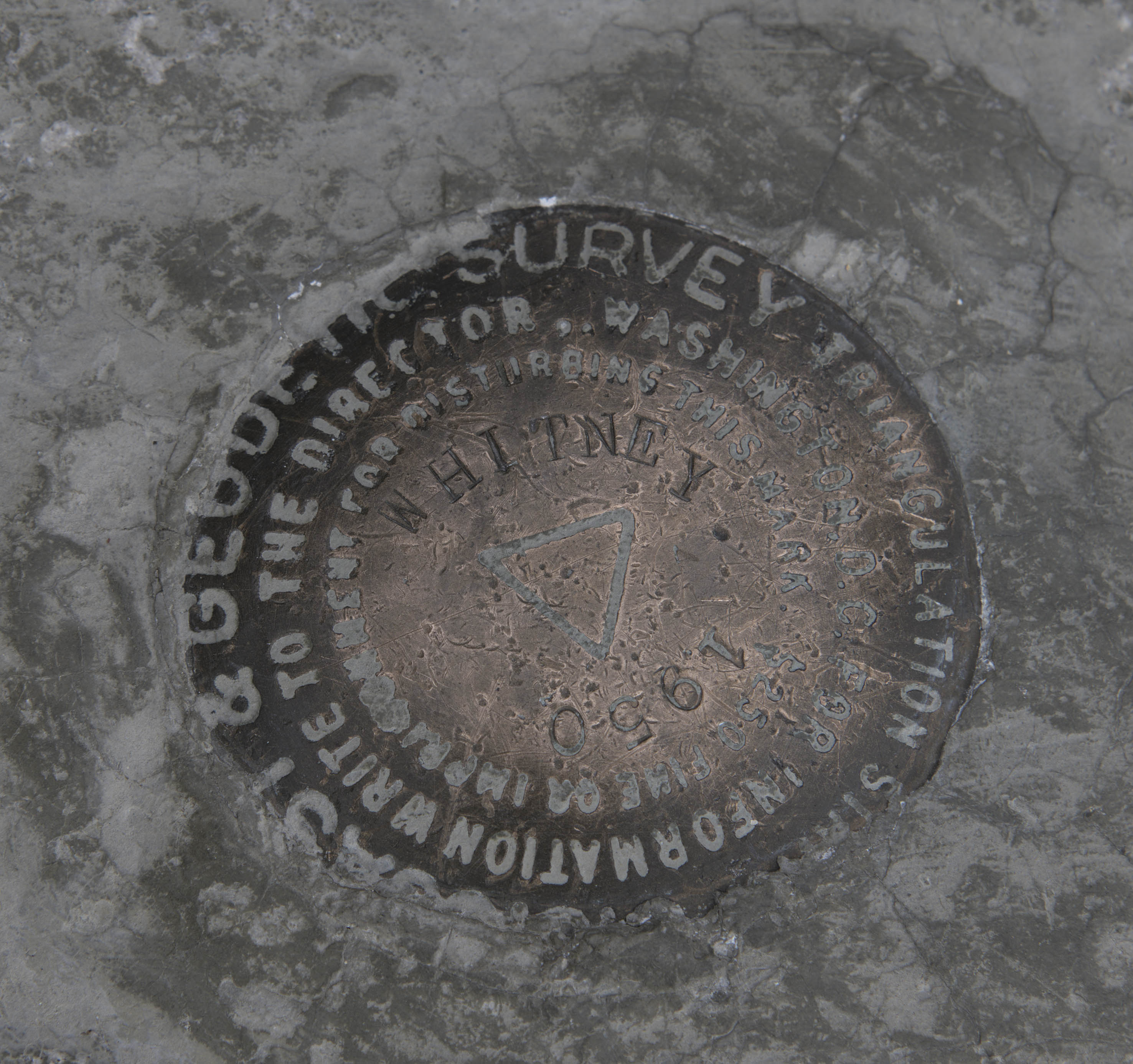
I hoped to explore the Sierra Nevada on foot. The High Sierra Trail (HST), usually travelled in 5-8 days west to east seemed like a good template. The trail starts on the lush western slopes graced by majestic giant sequoias, climbs through granite country dotted by glacial lakes before finishing on the jagged peaks of the Eastern Sierra. The path summits Mt Whitney, which at 4450m is the tallest mountain in the US outside of Alaska. I subsequently added day trips and a small section of the Pacific Crest Trail (PCT) to allow opportunities to take in the scenery, making a solo trip totalling ten days.
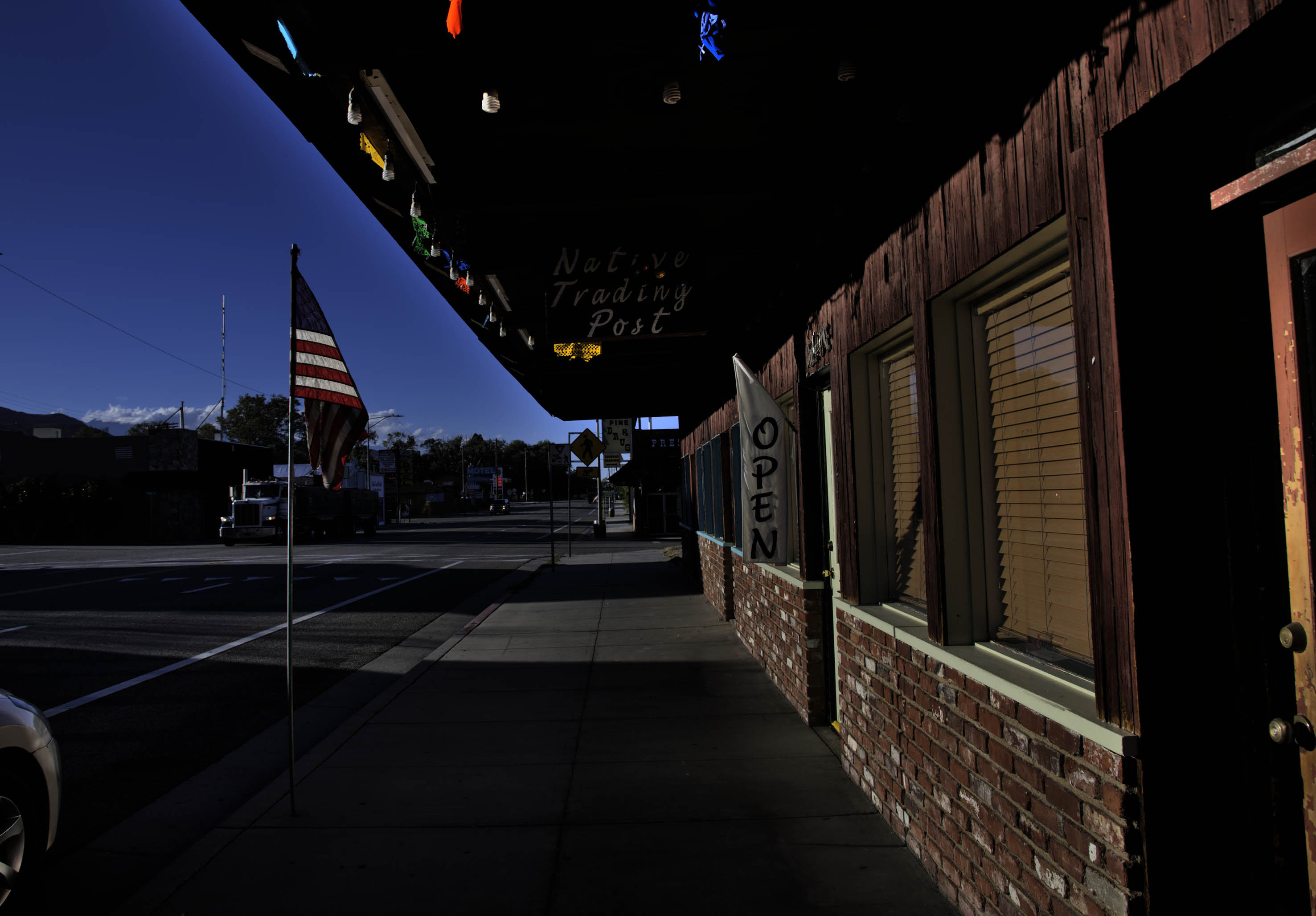
The start and end points are separated by a six-hour drive. Most people rely on very kind friends and the more adventurous choose public transport. Travelling from Australia I chose the latter. If you would like to experience pure unadulterated disappoint then rural US public transport is perfect for you. Leaving San Francisco at dawn I could only make it to the town of Visalia when all public transport options dried up in the mid-afternoon.
Heat shimmers rose from the broad concrete streets. A kind Iranian Uber driver agreed to take me from one and a half hours up to the Giant Forest. His GPS showed a long, dense pile of switchback.
‘I hope you can find a return passenger.’
‘Not possible.’ He chuckled while turning up the air conditioning and combing back his thin greying hair.
‘That is OK. I love the mountains and it has been a long time since I went. I don’t usually find time to go.’
Rows of orchards gradually replaced city blocks. The hazy air cooled as the road twisted up the barren granite range, the burnt brown hills gradually replenished with spots of greenery. Halfway up the mountain he offered to show me a ‘beautiful place’.
A granite boulder created an overhang at Hospital Rock. He pointed at the rock art, pulled a few leathery leaves from a tree growing from a narrow crack and crushed them in his palm.
‘This is a medicinal plant. The Indians cared for their ill and ground acorns into flour here.’ He invited me to smell the leaves. We went for a short walk by the canyon accessed by going under a precarious looking rockjam.
Arriving at the Giant Forest I felt full of gratitude. I connected with a park shuttle to Lodgepole Campground.
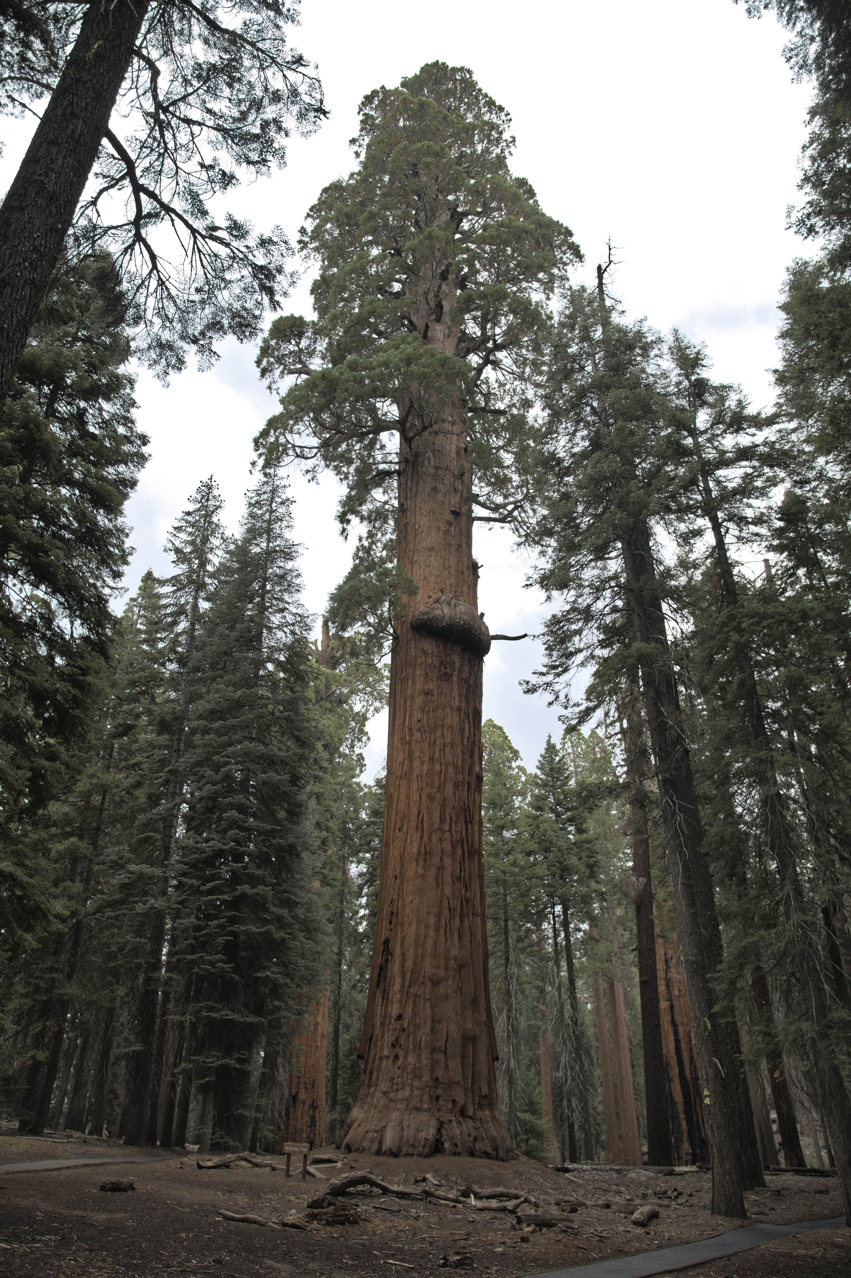
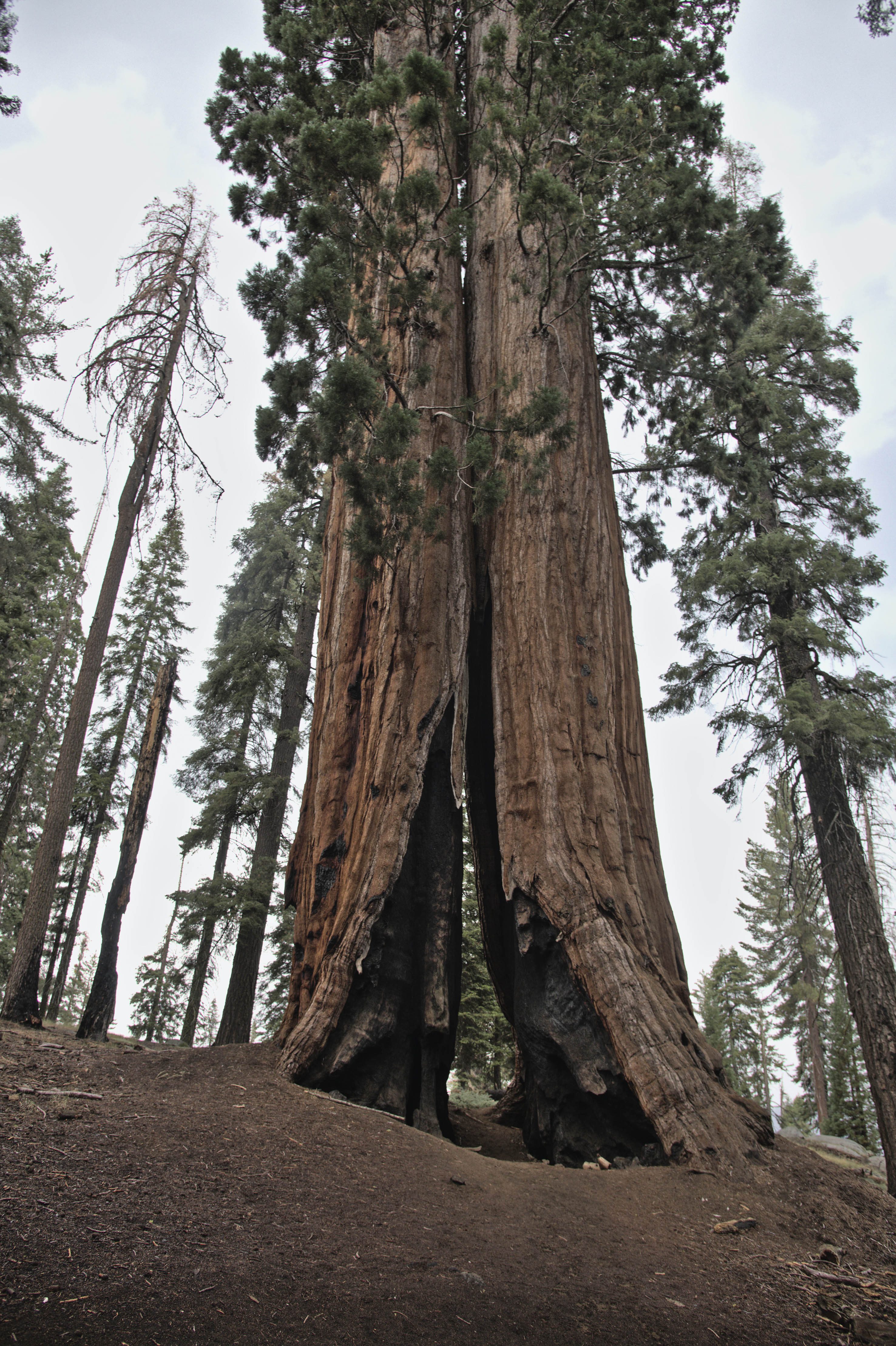
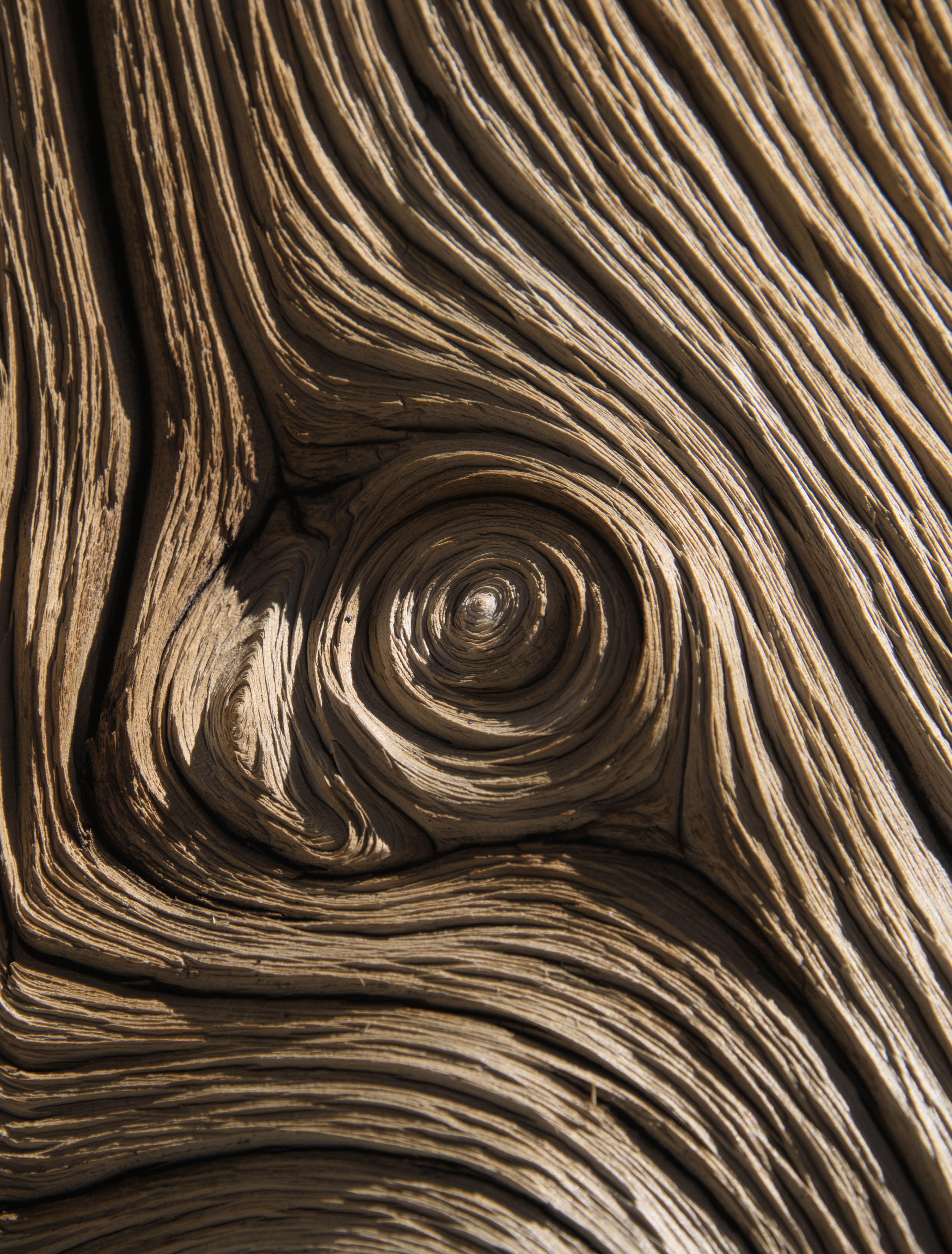
Giant sequoias are the largest single stem trees in the world. Some specimens have trunks exceeding 10m in diameter and heights exceeding 80m. Despite their size giant sequoias have been doing it tough over the past 200 years. Already restricted to narrow bands of 1600-2000m in altitude on the western slopes of the Sierra Nevada, they were first indiscriminately logged and more recently threatened by large fires. Many earlier giants, some dwarfing even the General Sherman fell to the ground only for loggers to discover that the timber was very brittle and good for only matchsticks. Another giant died after its bark was removed to demonstrate how large it was, as photography was ineffective at capturing its size.
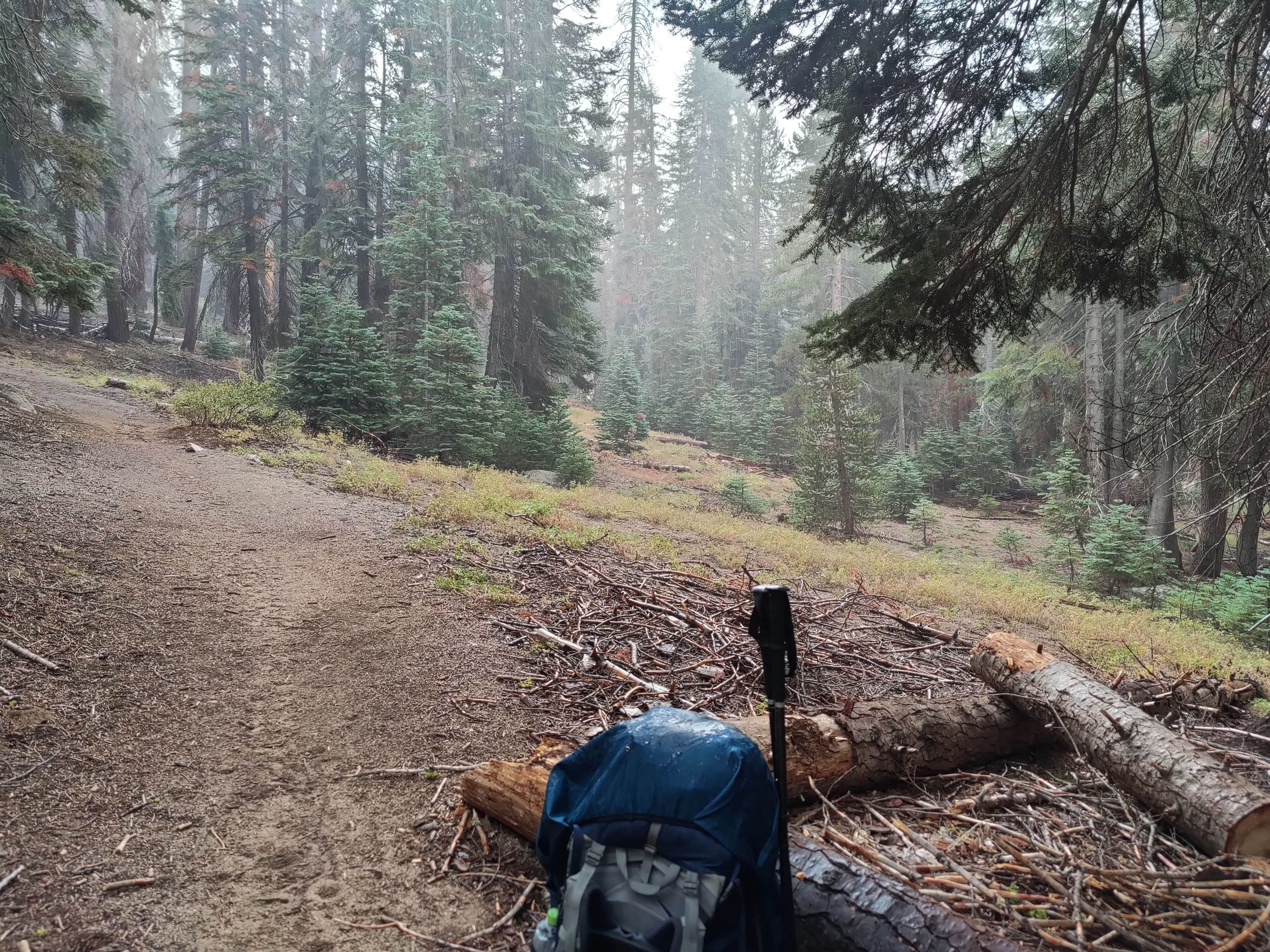
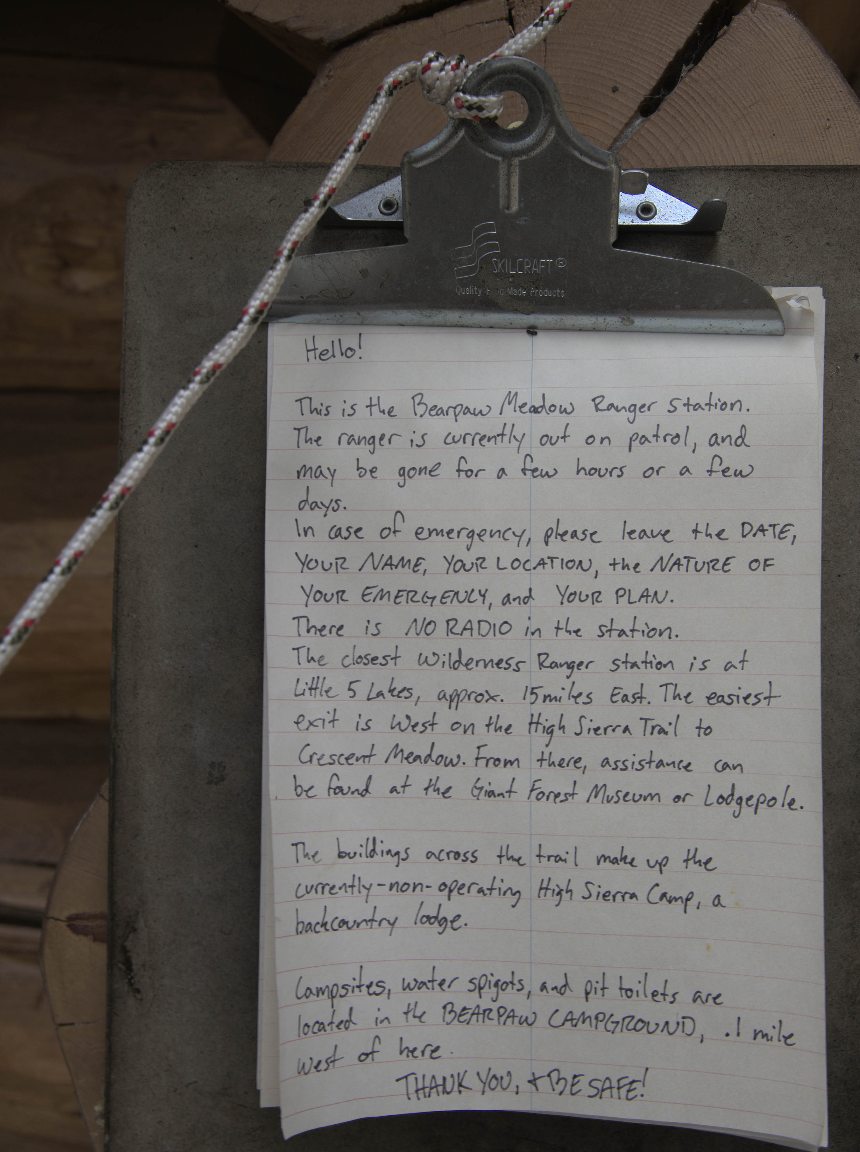
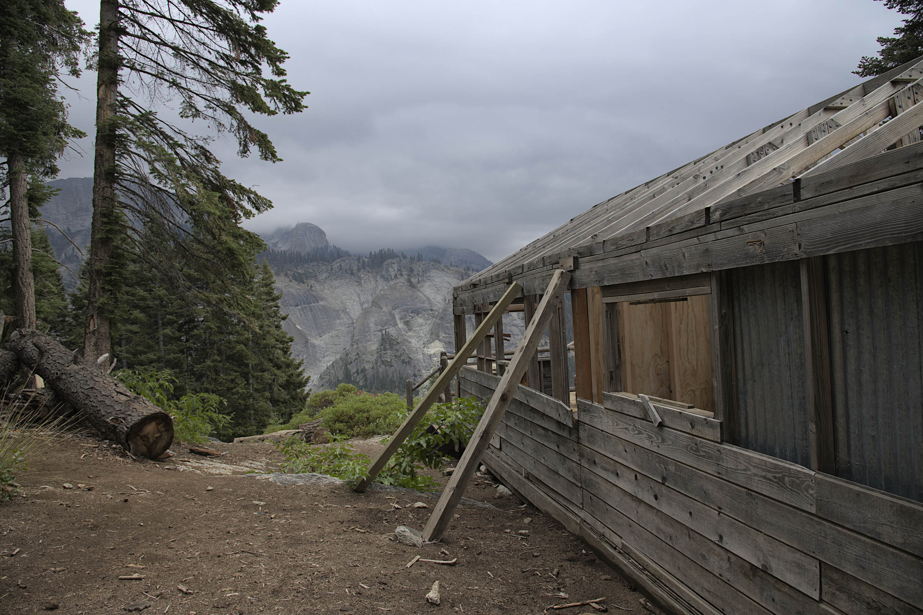
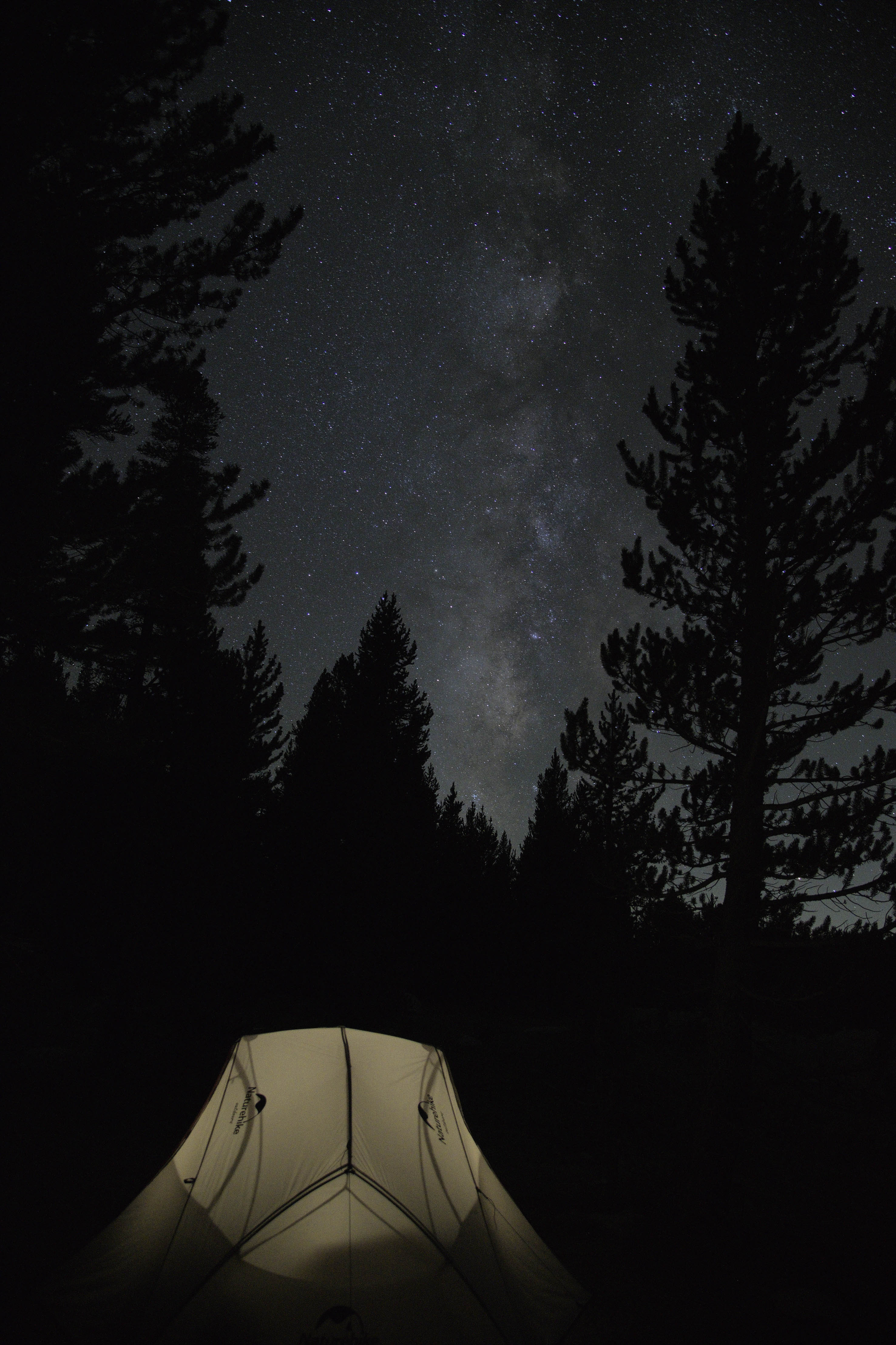
A large storm passed during the first day on the trail and slowed progress. The droplets stirred up a musky scent of pine needles. In previous summer seasons the historic Bearpaw Camp offered a comfortable night of sleep, hearty food and pastries to hikers. This year it is closed for renovation. The Ranger was also out.
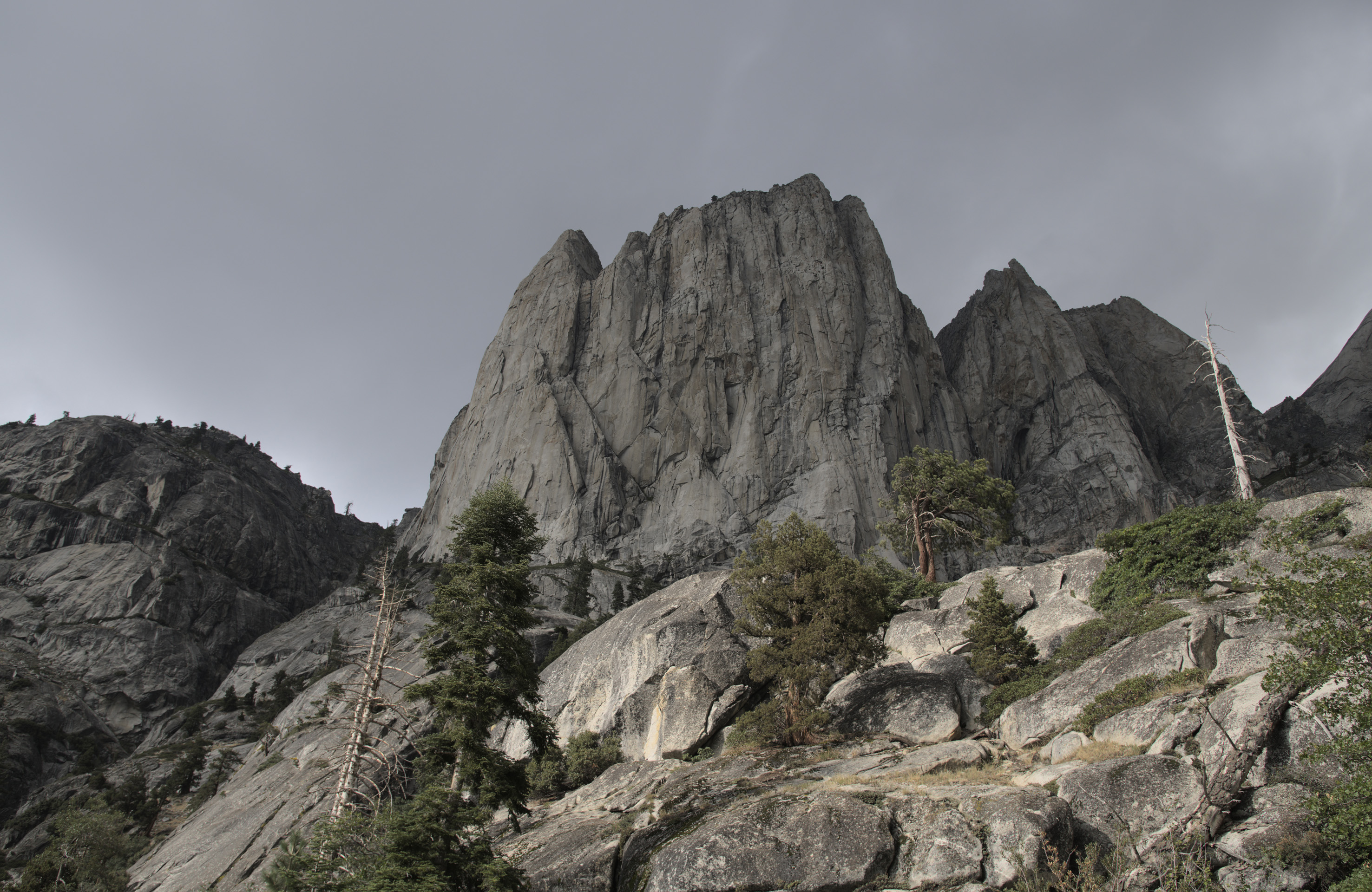
On the second day I met a group of three from southern California and the true expanse of the granite country had begun to reveal itself.
‘You can open a grocery shop!’
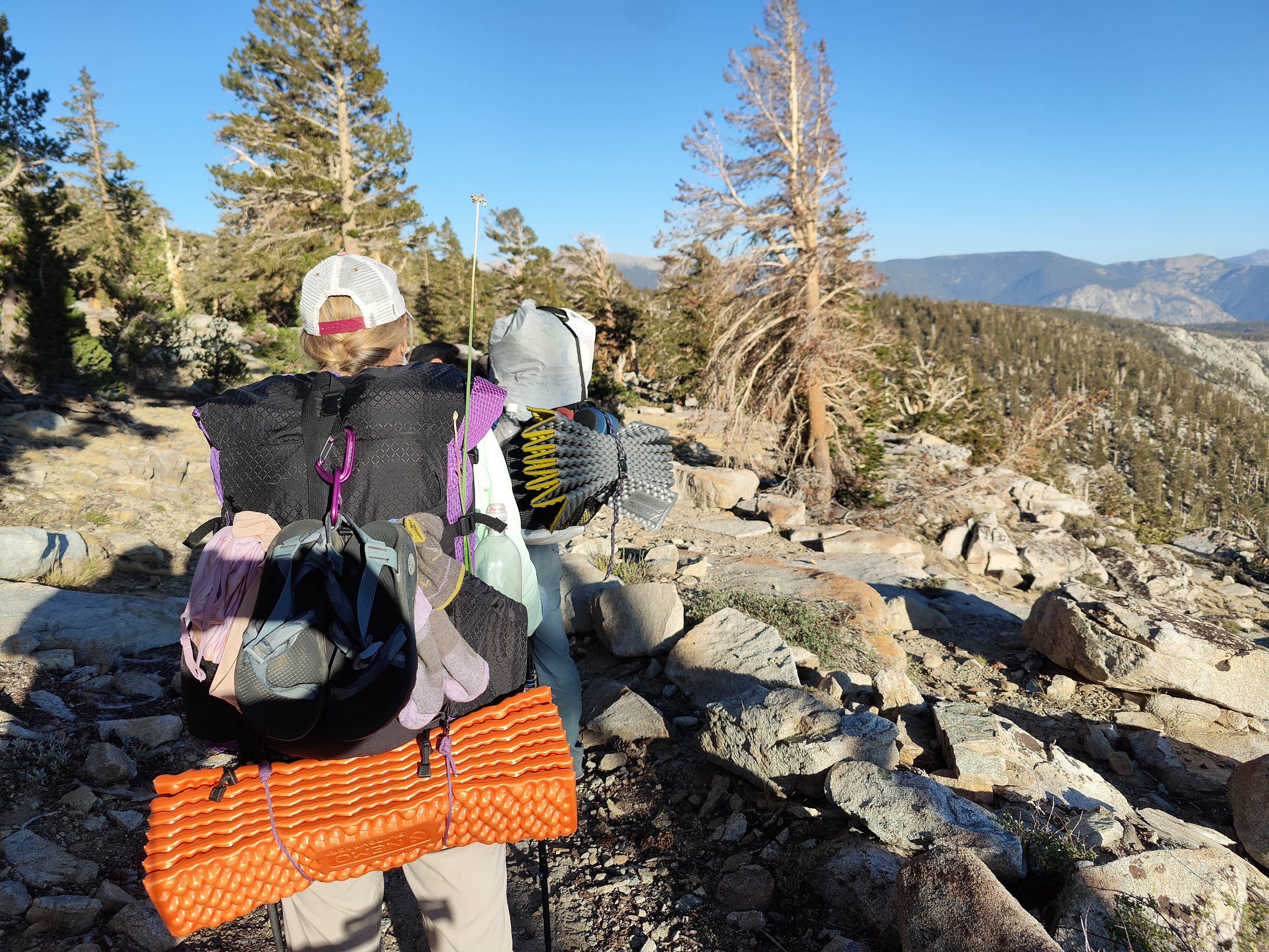
They were ultralight backpackers. Fresh food was important to me and I brought 5 apples, 5 mandarins, 5 carrots, a small cabbage, a pound of Chinese greens, and the same amount of green beans. To supplement dehydrated food I also brought 3lb of Chinese sausages.
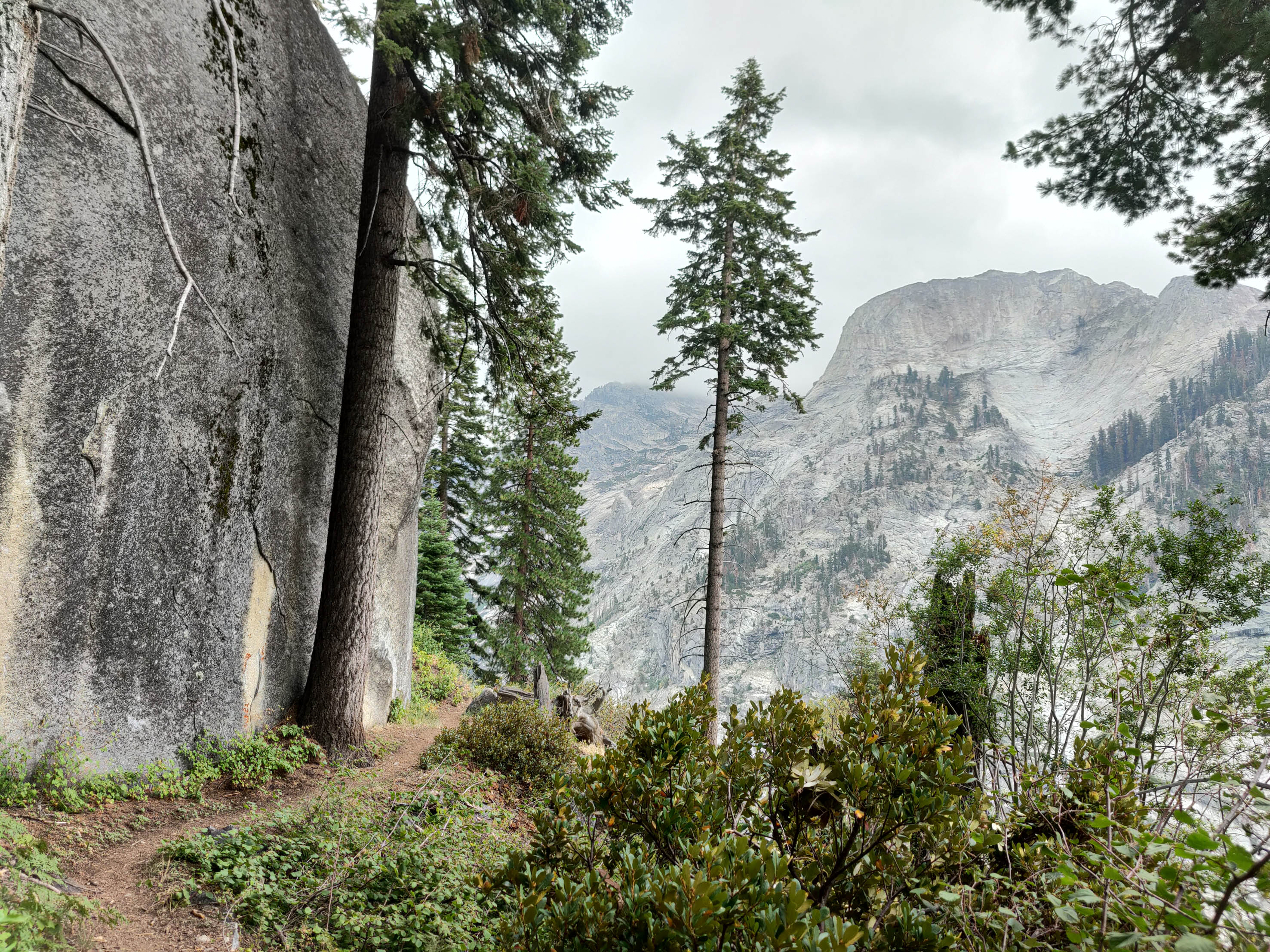
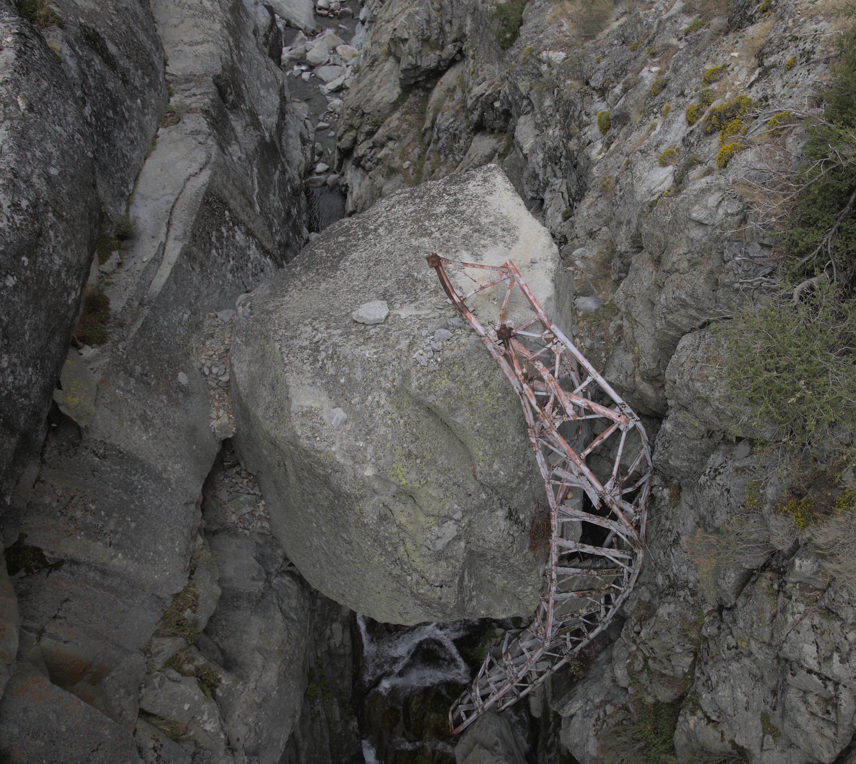
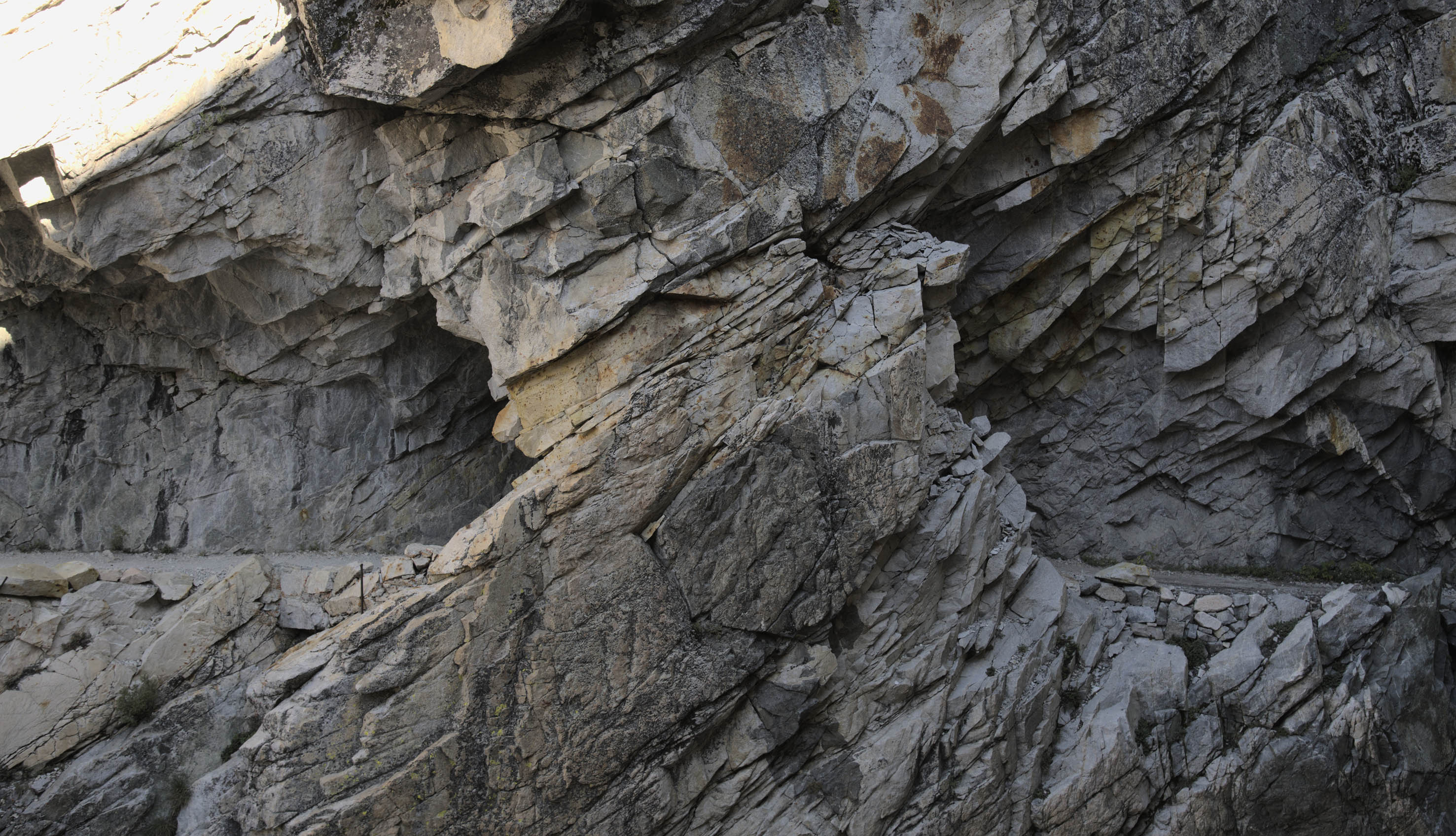
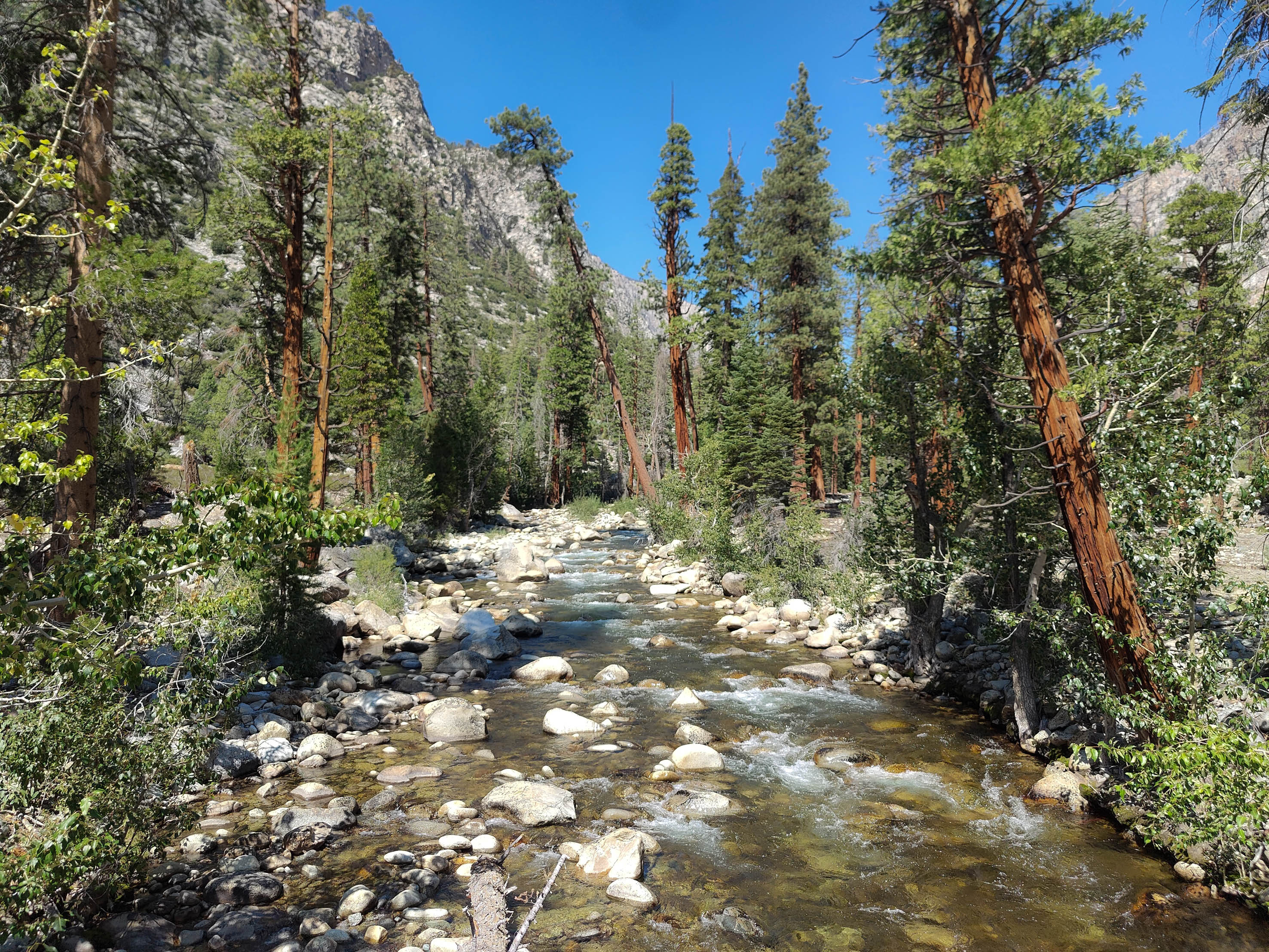
The HST is a bridle path built in the 1920s solely for the purpose of recreation. The first third of the track visits an Yosemite like landscape dotted with glacial lakes. Track builders blew out large chunks of granite so the path can traverse the sides of these extrusions. Deep narrow ravines have also been bridged. One such wooden bridge stands over Lone Pine Creek, where the twisted wreck of the predecessor is still visible. In another section a tunnel allowed the track to follow they profile of the valley in place of a destroyed cable bridge.
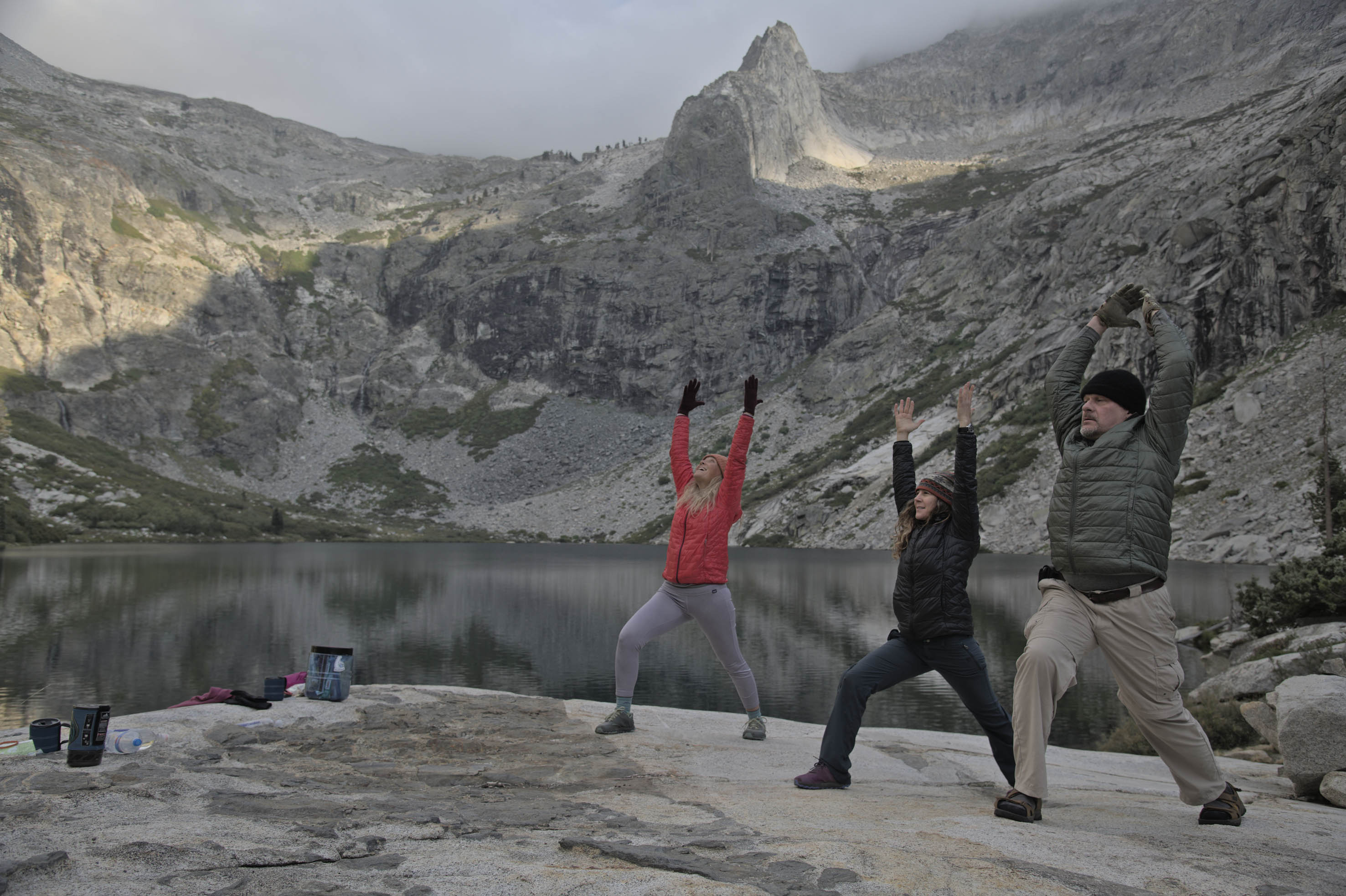
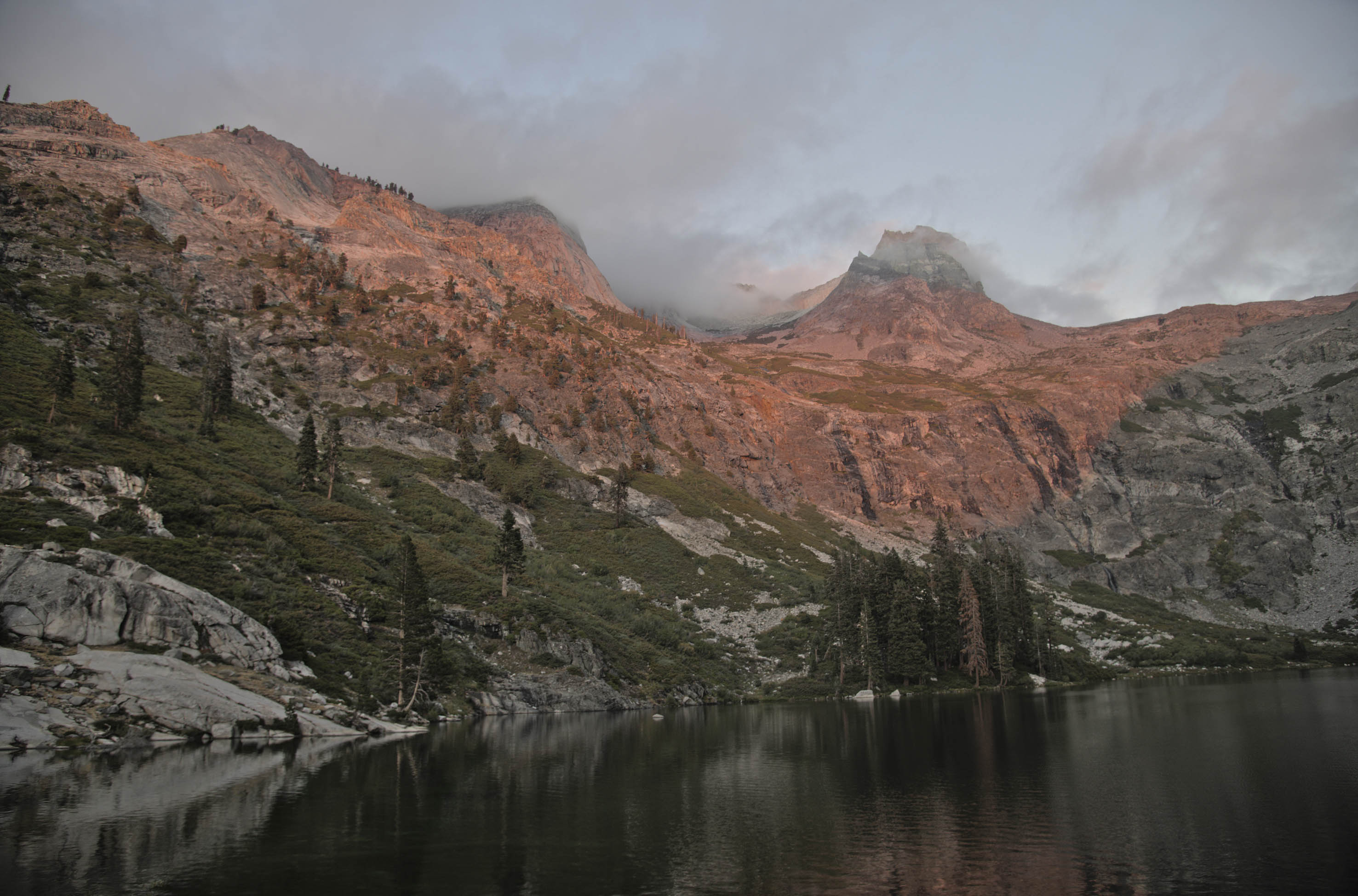
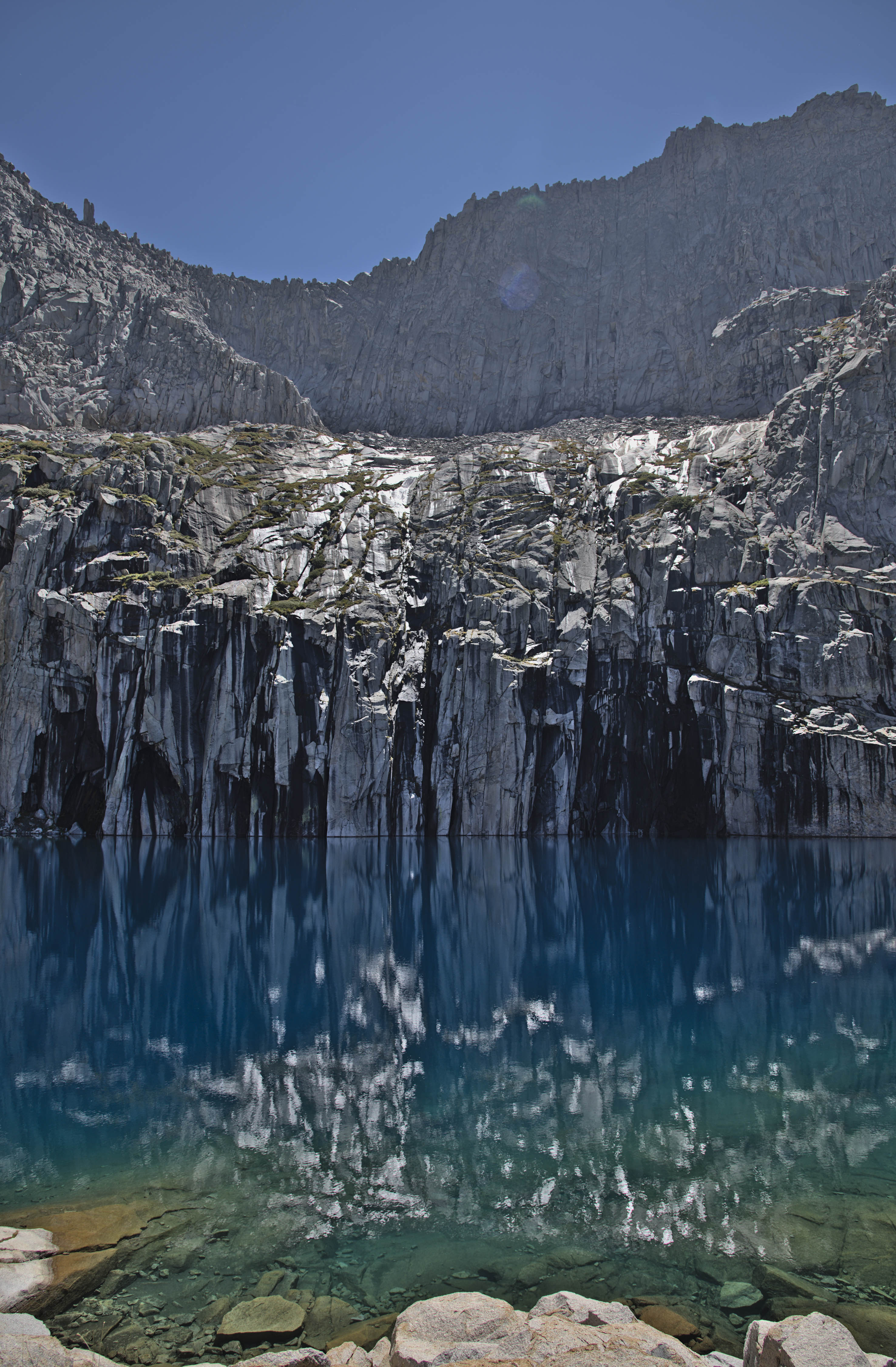
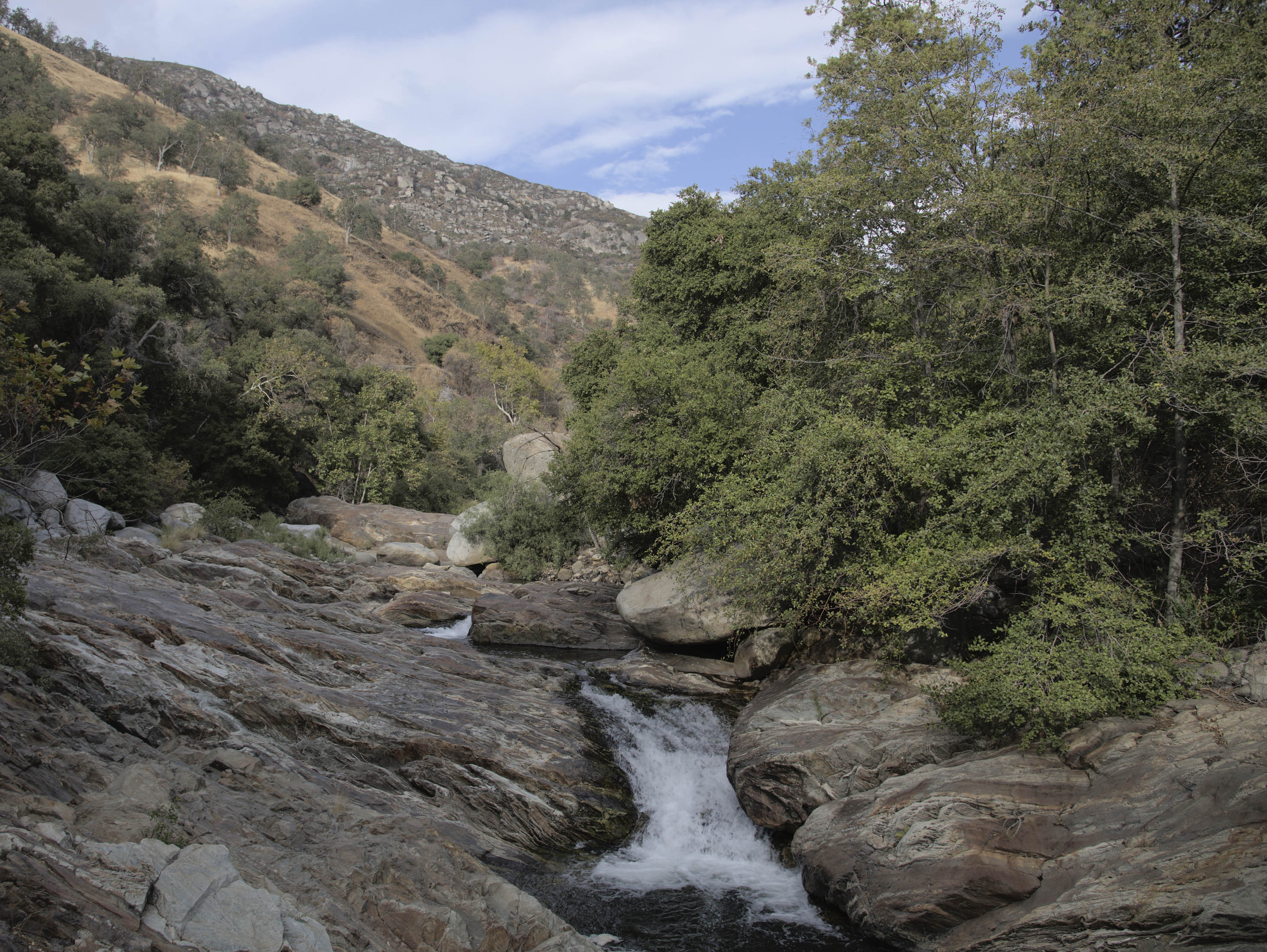
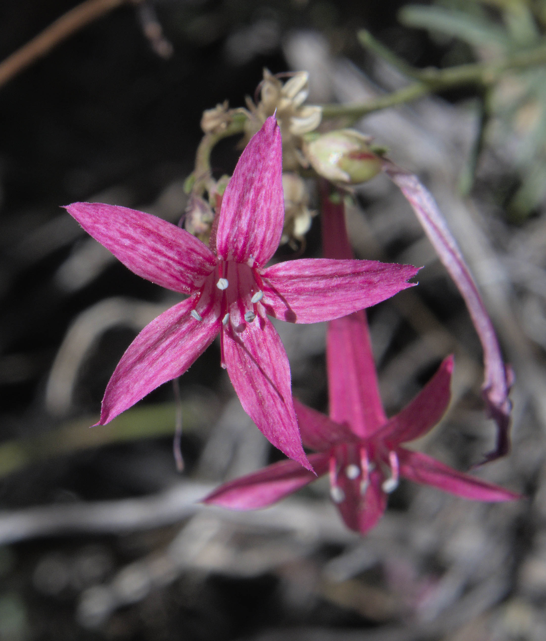
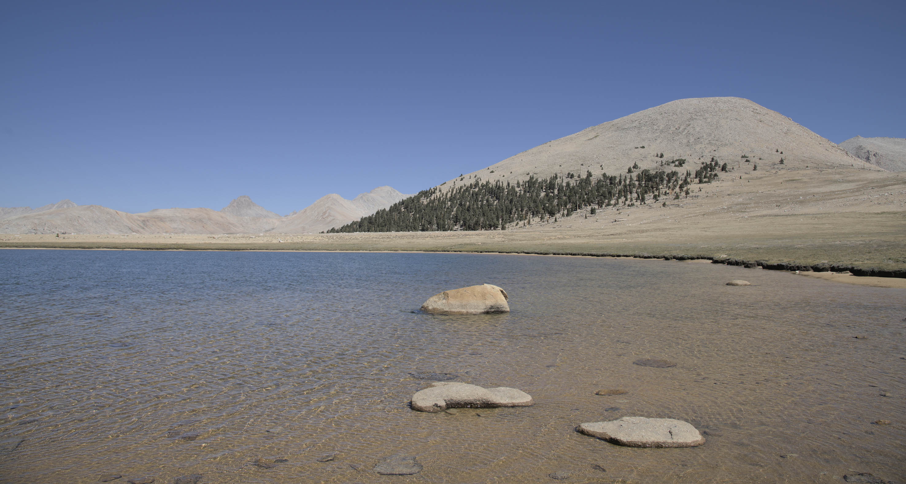
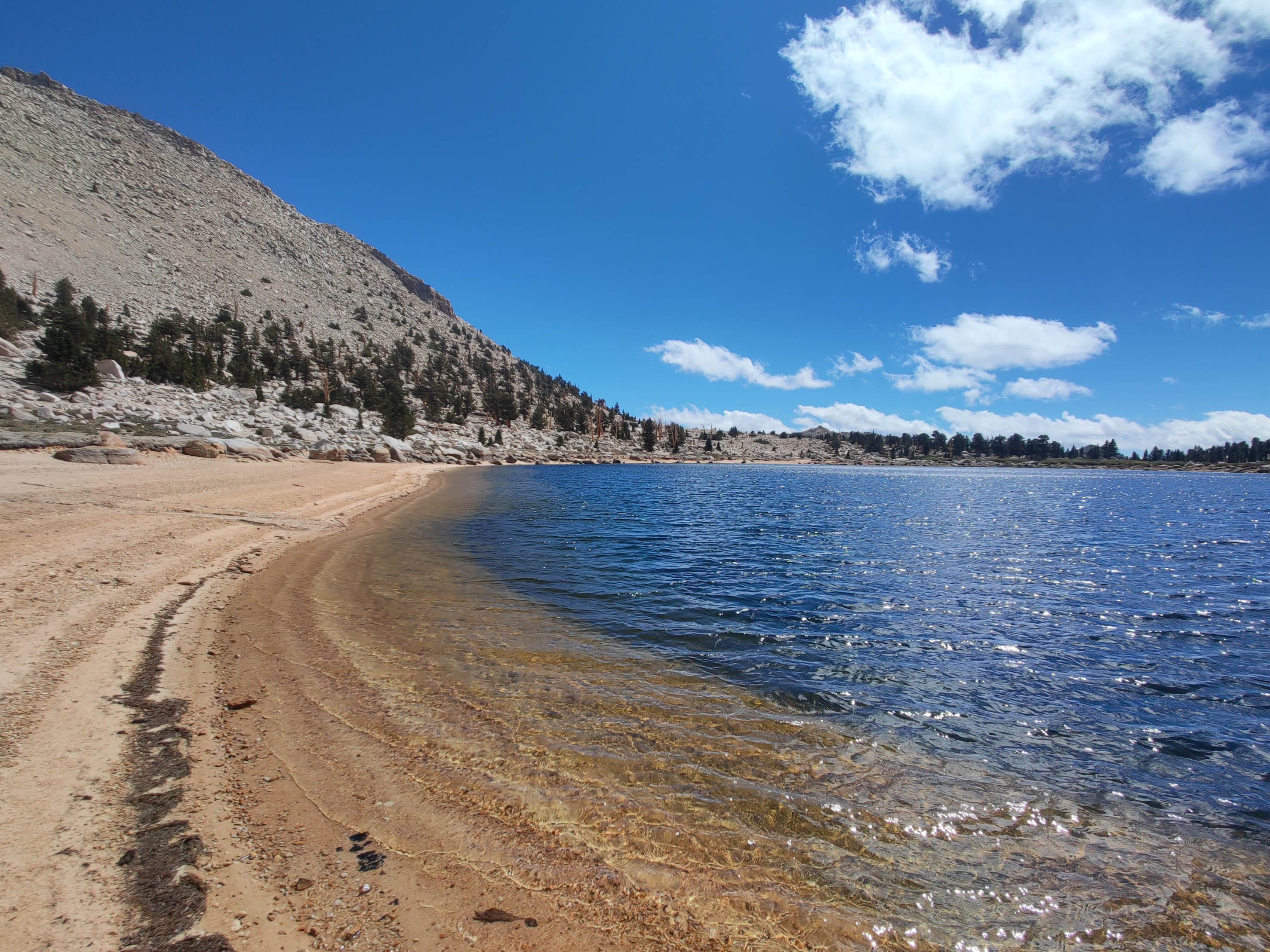
I mingled with the SoCal hikers over the next 3 days. We even did yoga. While Hamilton Lake was surprisingly warm to swim in the same could not be said about Precipice Lake. I enjoyed both baths. The path finally crosses the Great Western Divide at Kaweah Pass at 3258m. This was once an important trading point between the indigenous communities and marks a dramatic drop in average rainfall as the moisture from the pacific often results in rain on first contact with the mountain face. From here it is still a full day of walking to reach the bottom of the Kern Valley for the hot springs.
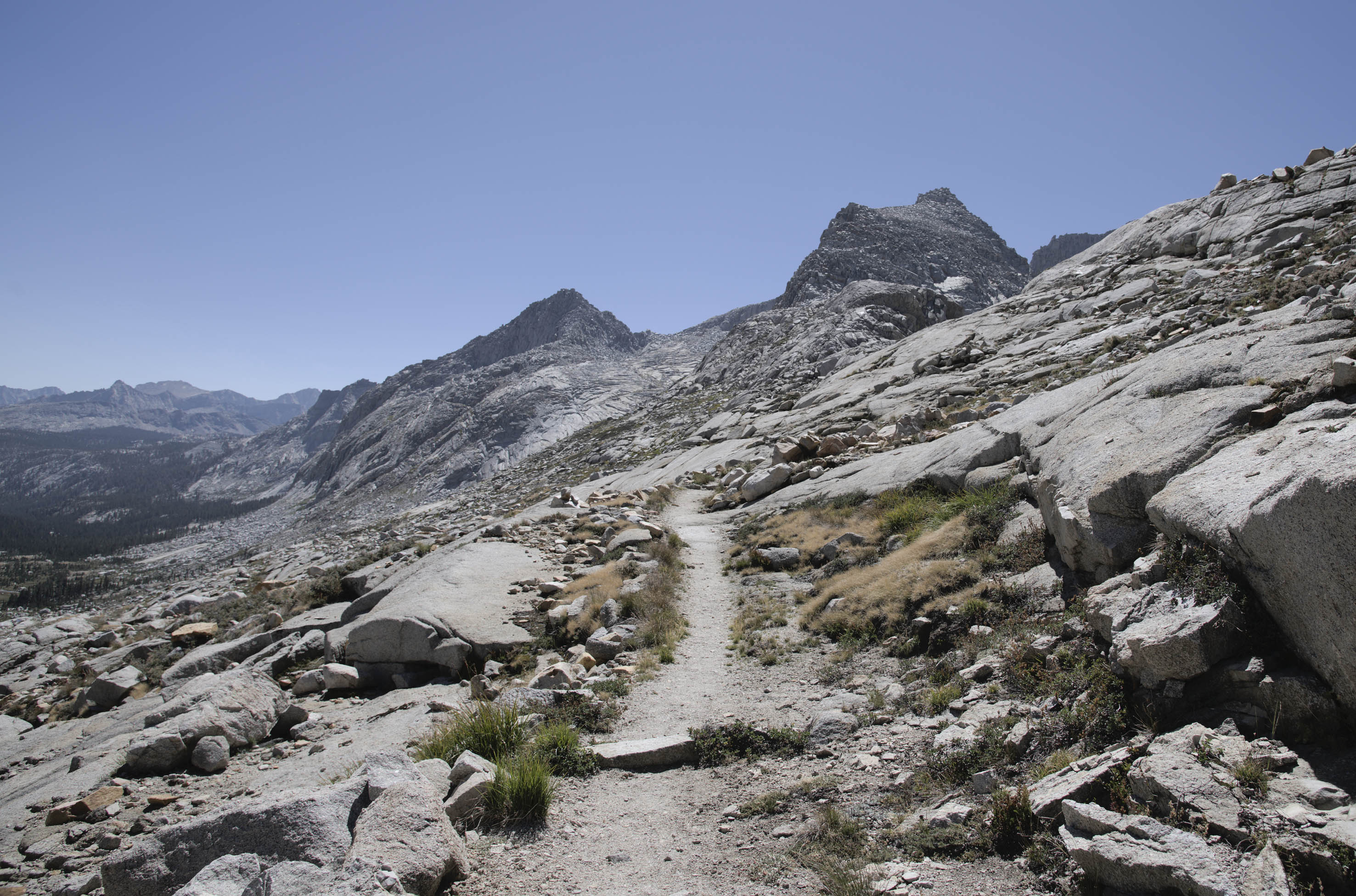
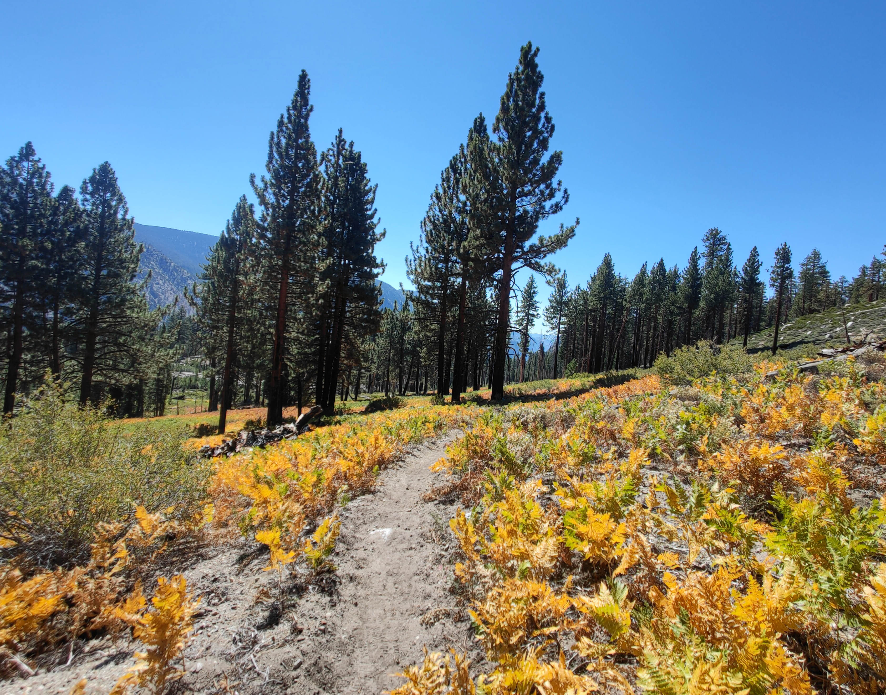
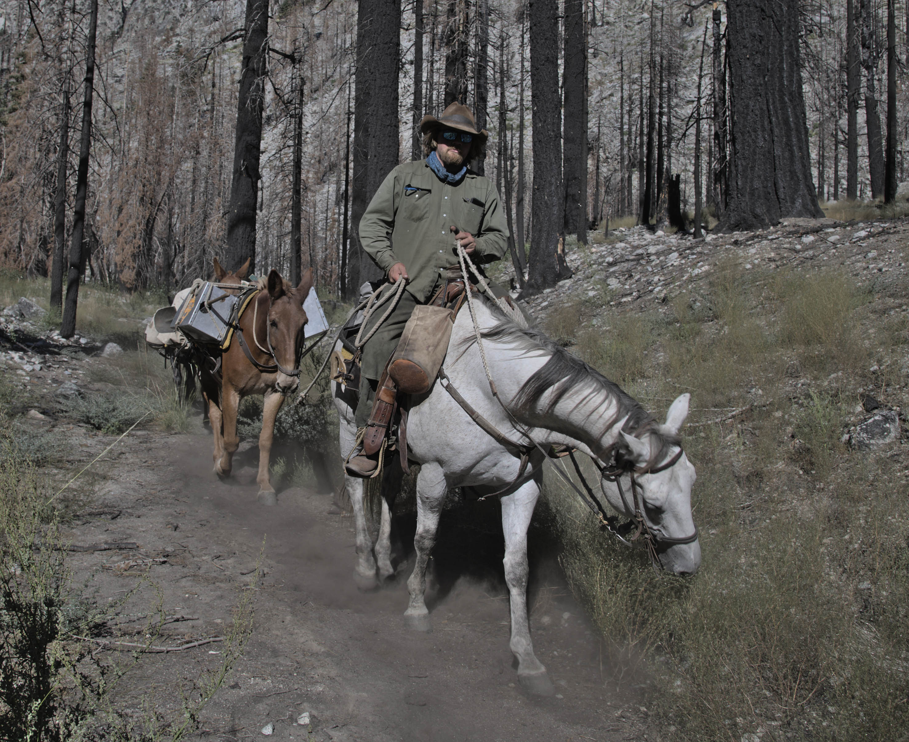
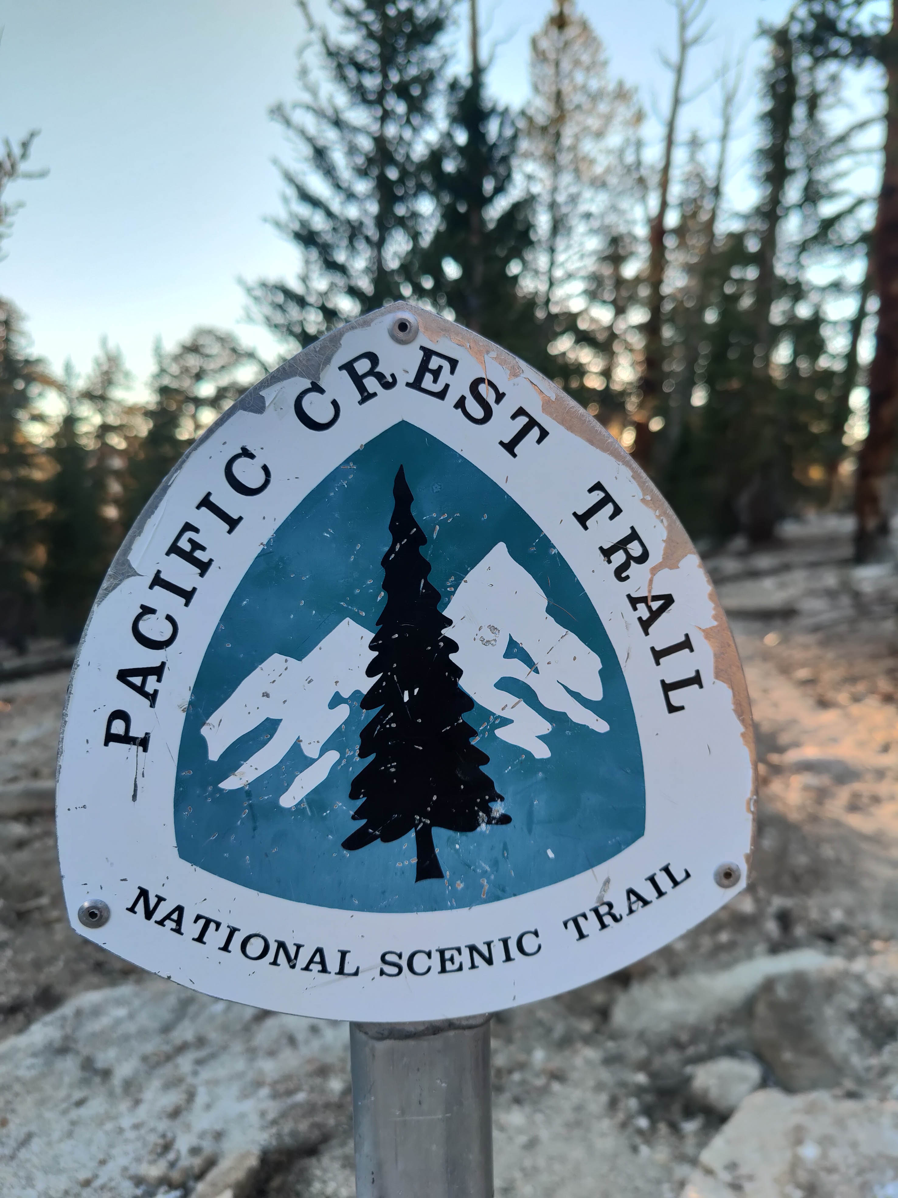
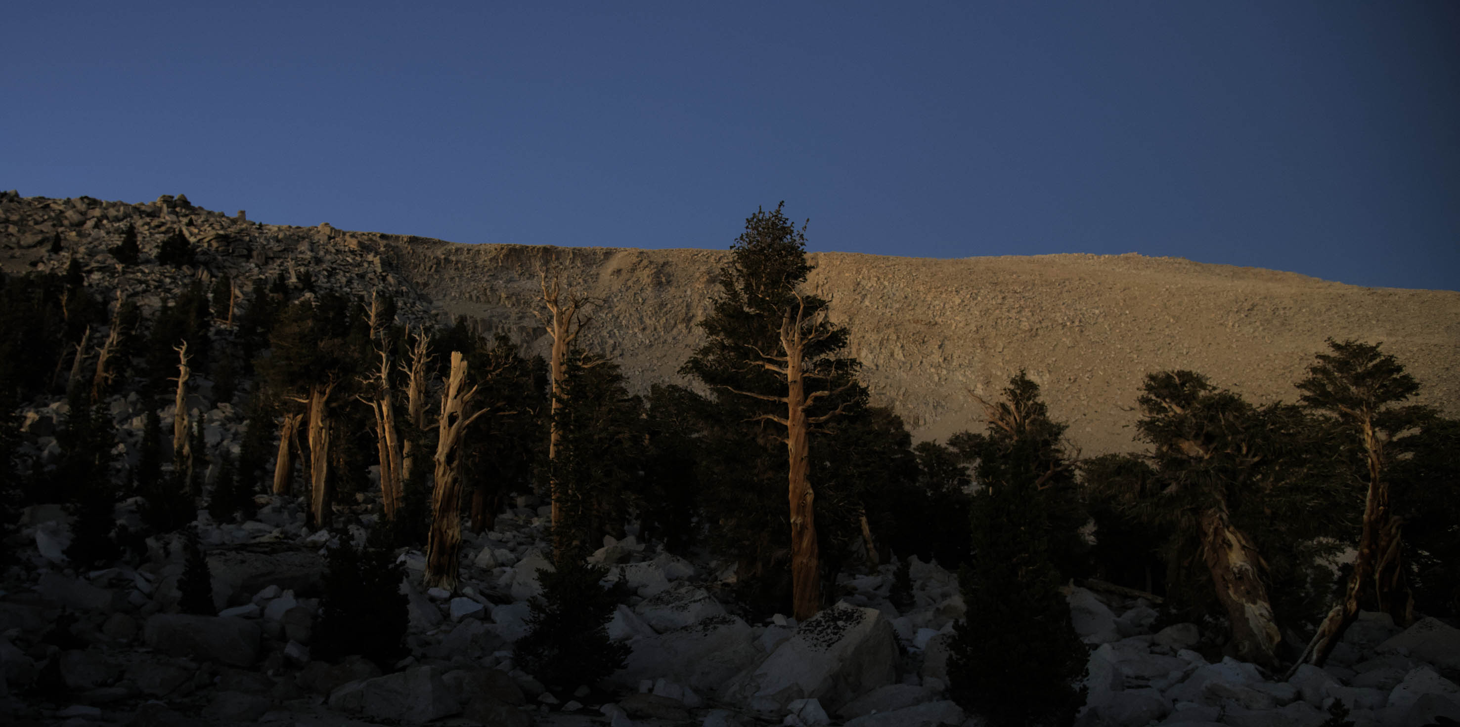
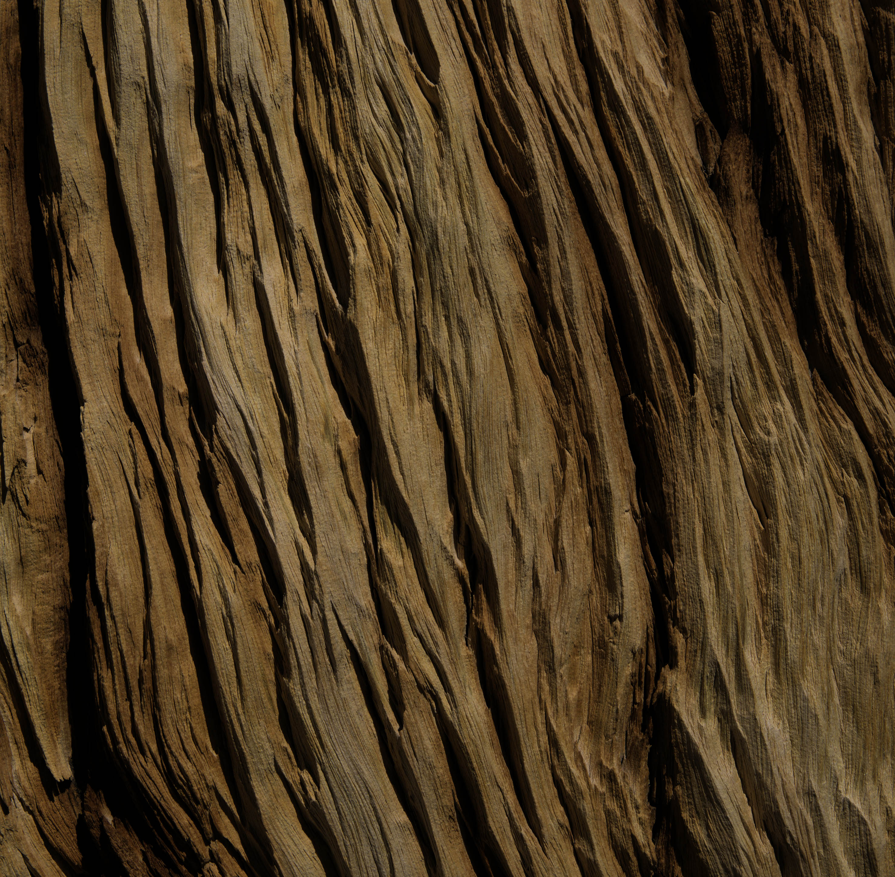
We passed through a fire affected area and came across a trail builder on horseback. I said 'hi' and he nodded so gently that one could mistake him for not noticing us. Without reprieve the path immediately climbs up the main Kern Valley before to join the legendary Pacific Crest Trail following the continental divide from Canada to Mexico. Bristlecone pines dominate this arid landscape above 3000m, their exposed trunks bleached and burnt by the unrelenting sun. Despite this, many soldier on with only small strands of bark keeping the canopies alive. A day trip to the Big Horn Plateau is highly recommended for seeing fine isolated specimens.
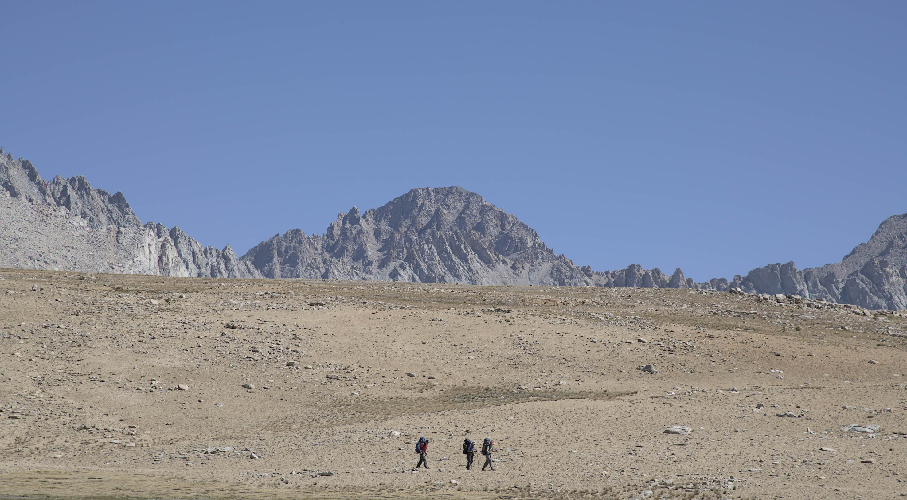
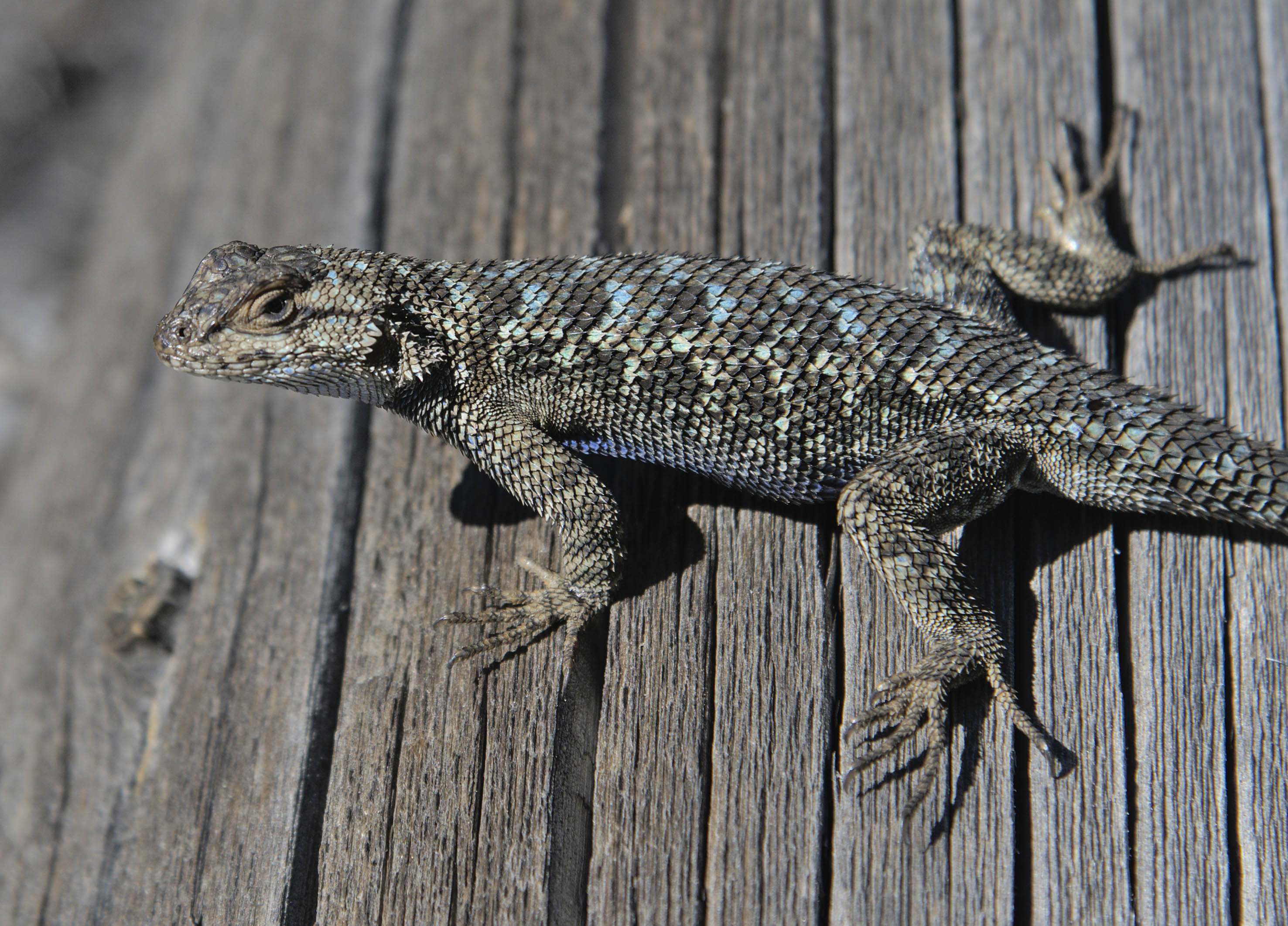
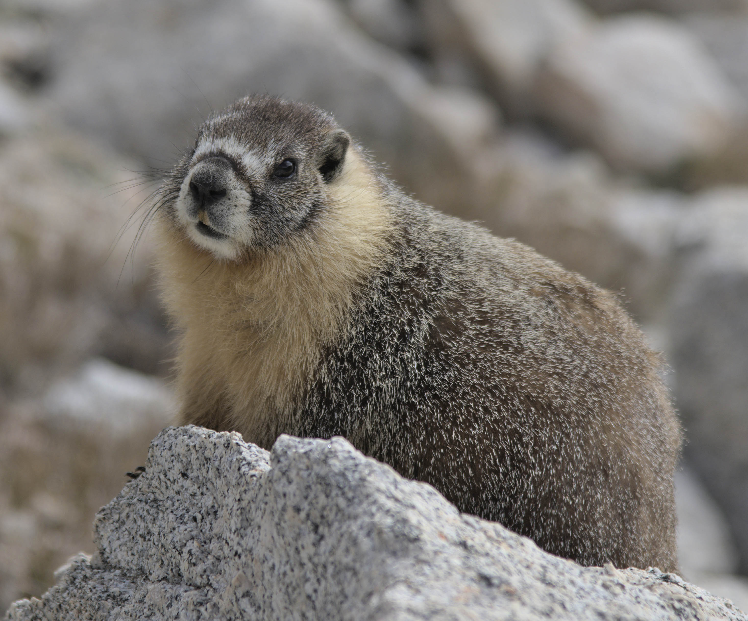
The grassy meadows slowly faded. There were the odd zen looking marmots looking for every chance to take your food. I was told they would also chew through the antifreeze lines under cars purely for the fun of doing it.
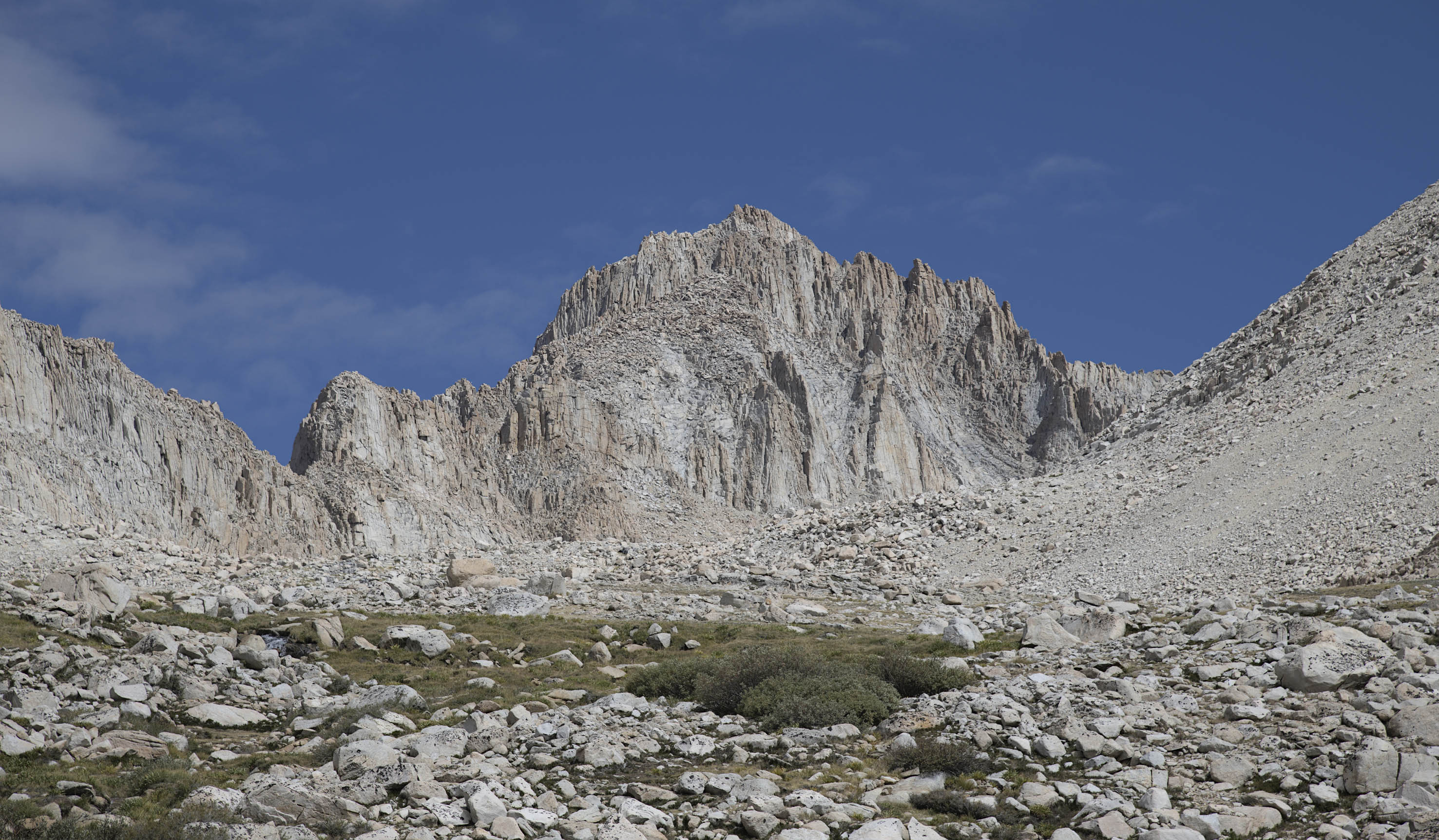
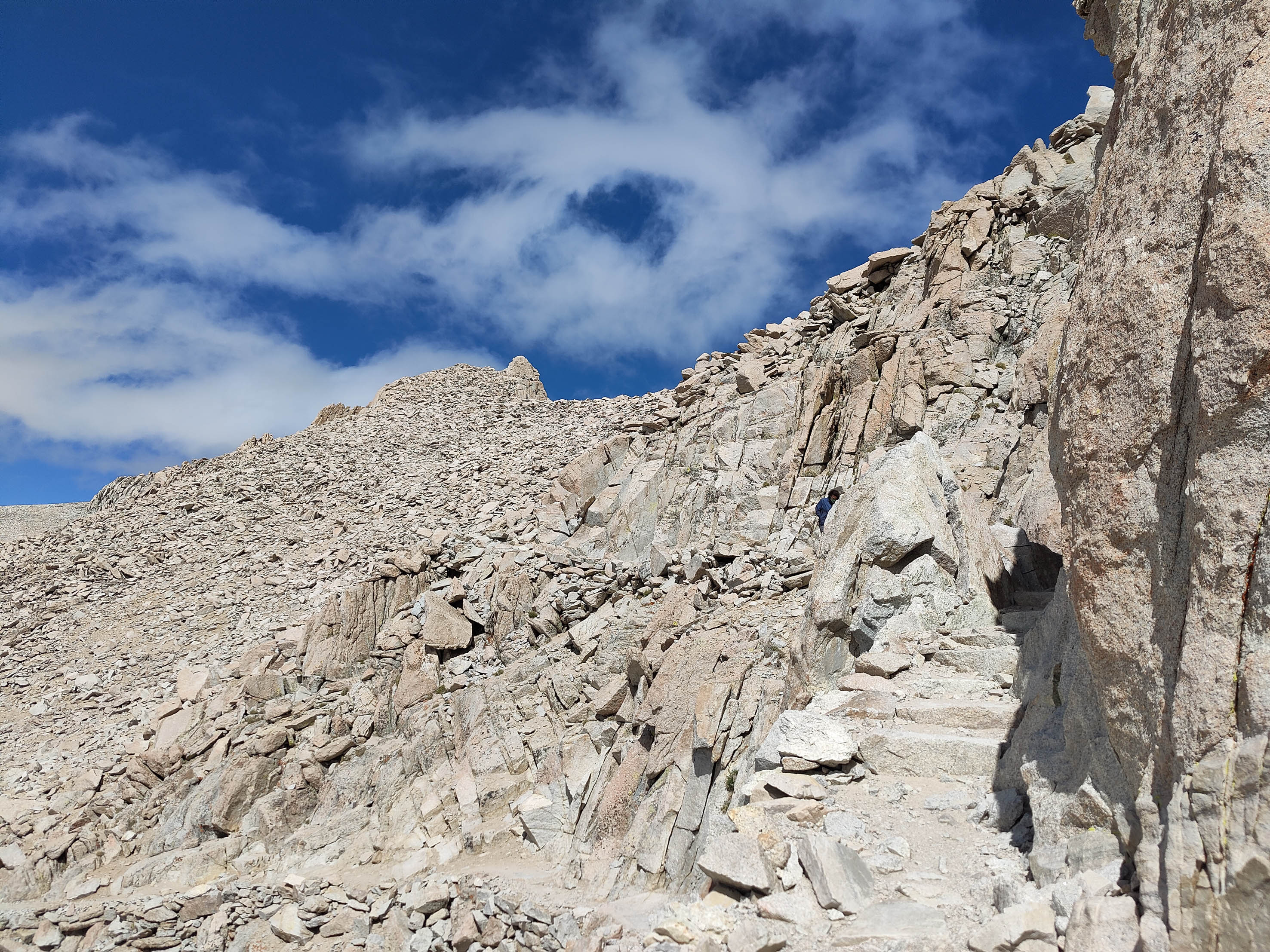
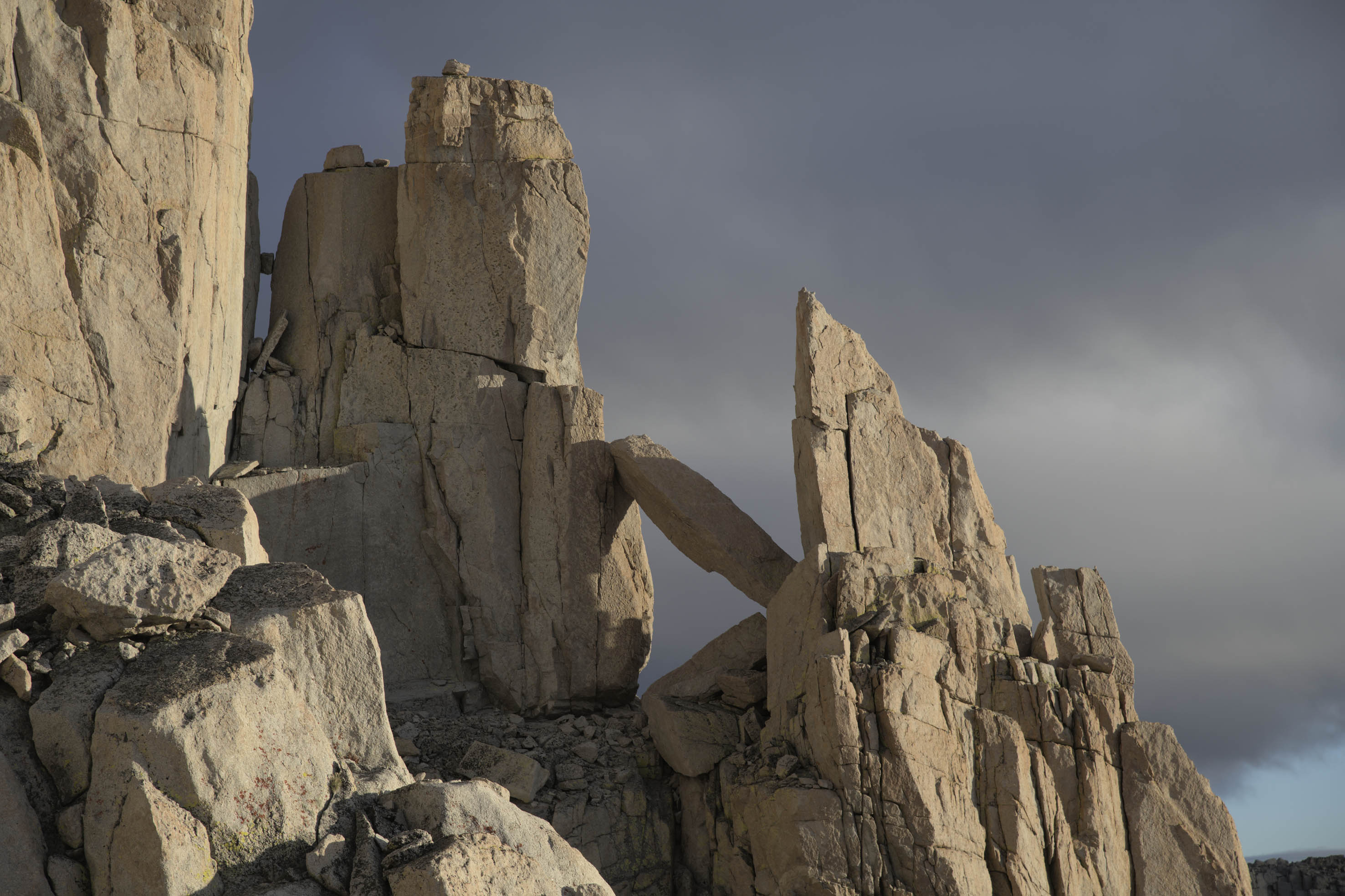
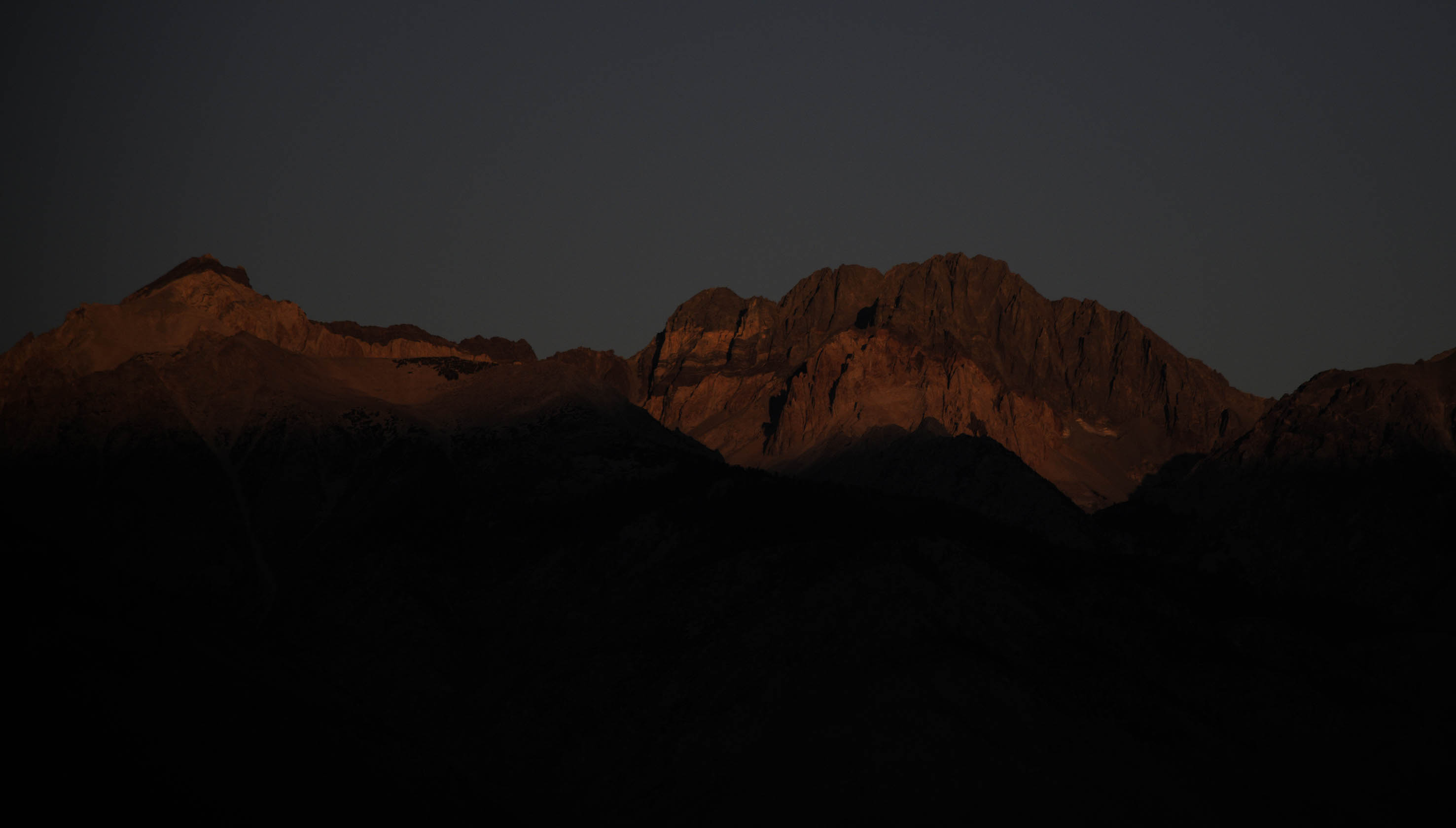
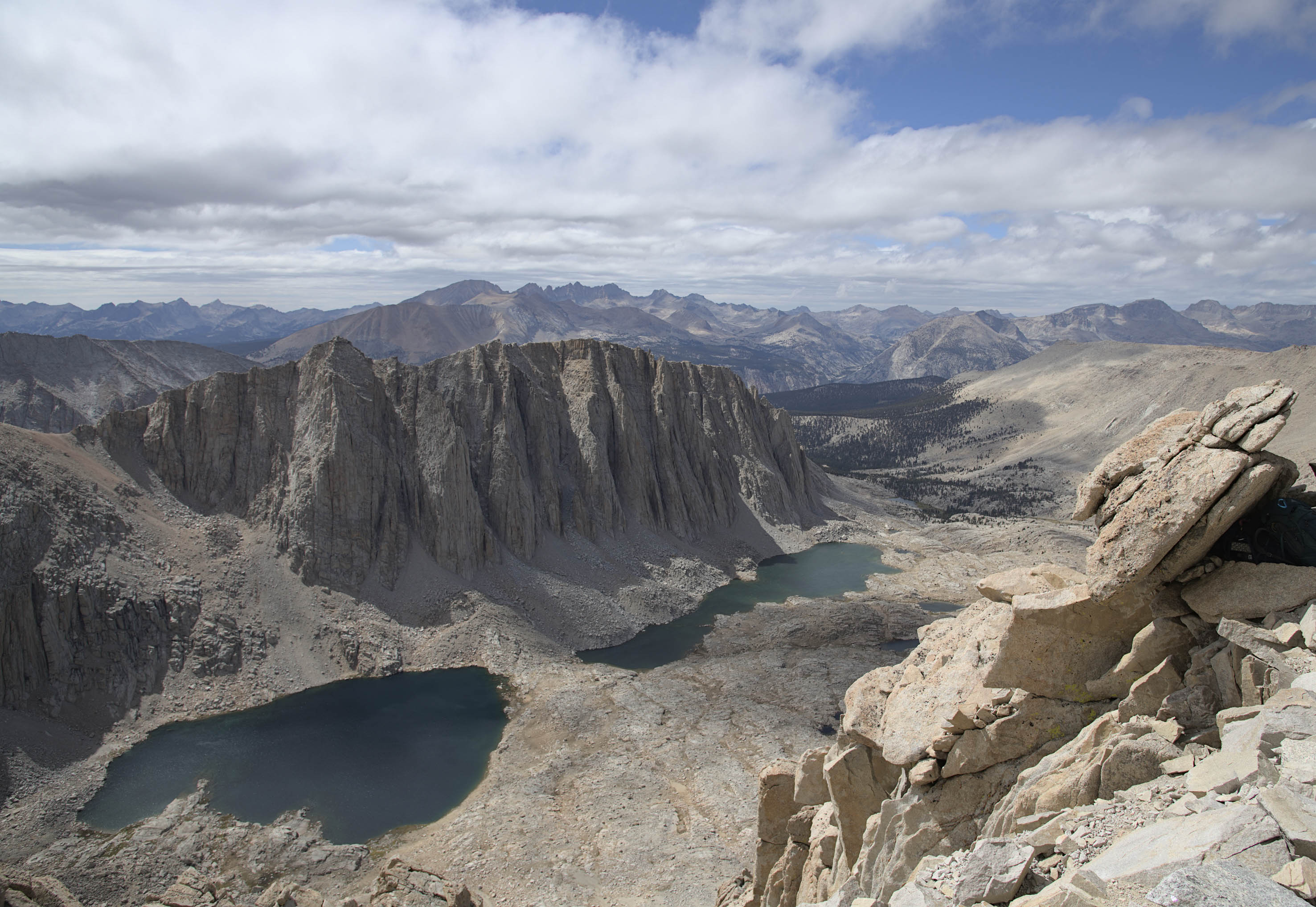
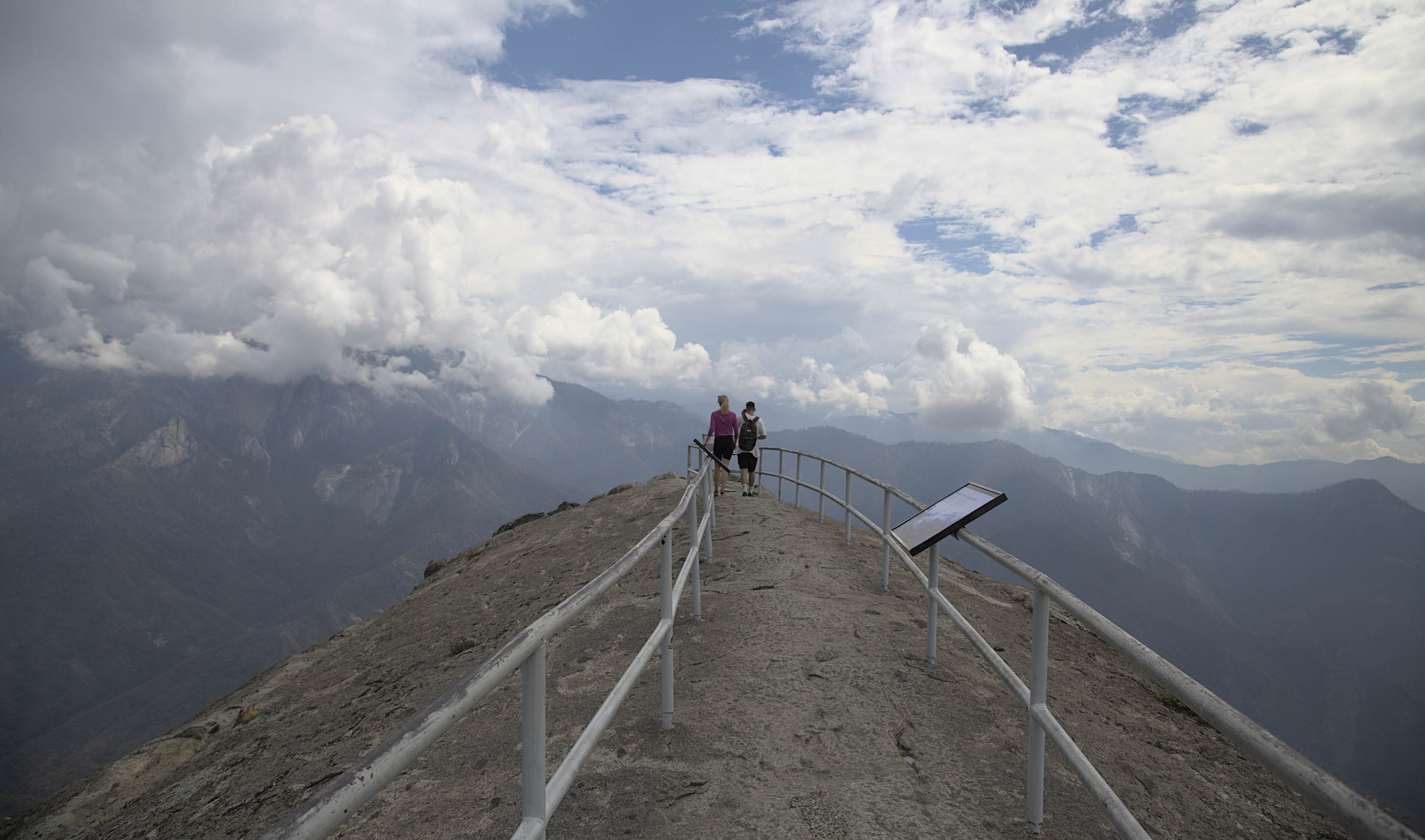
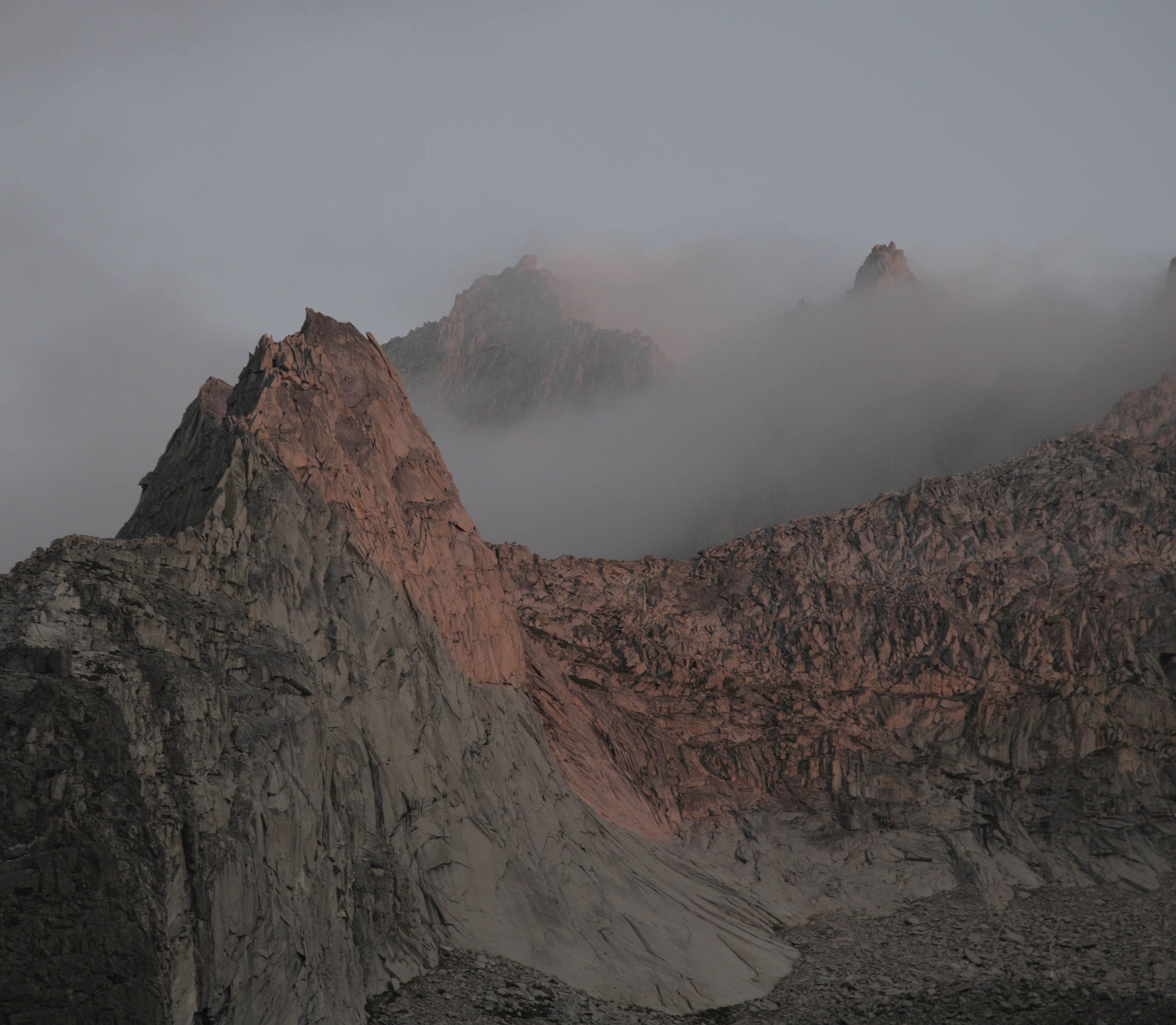
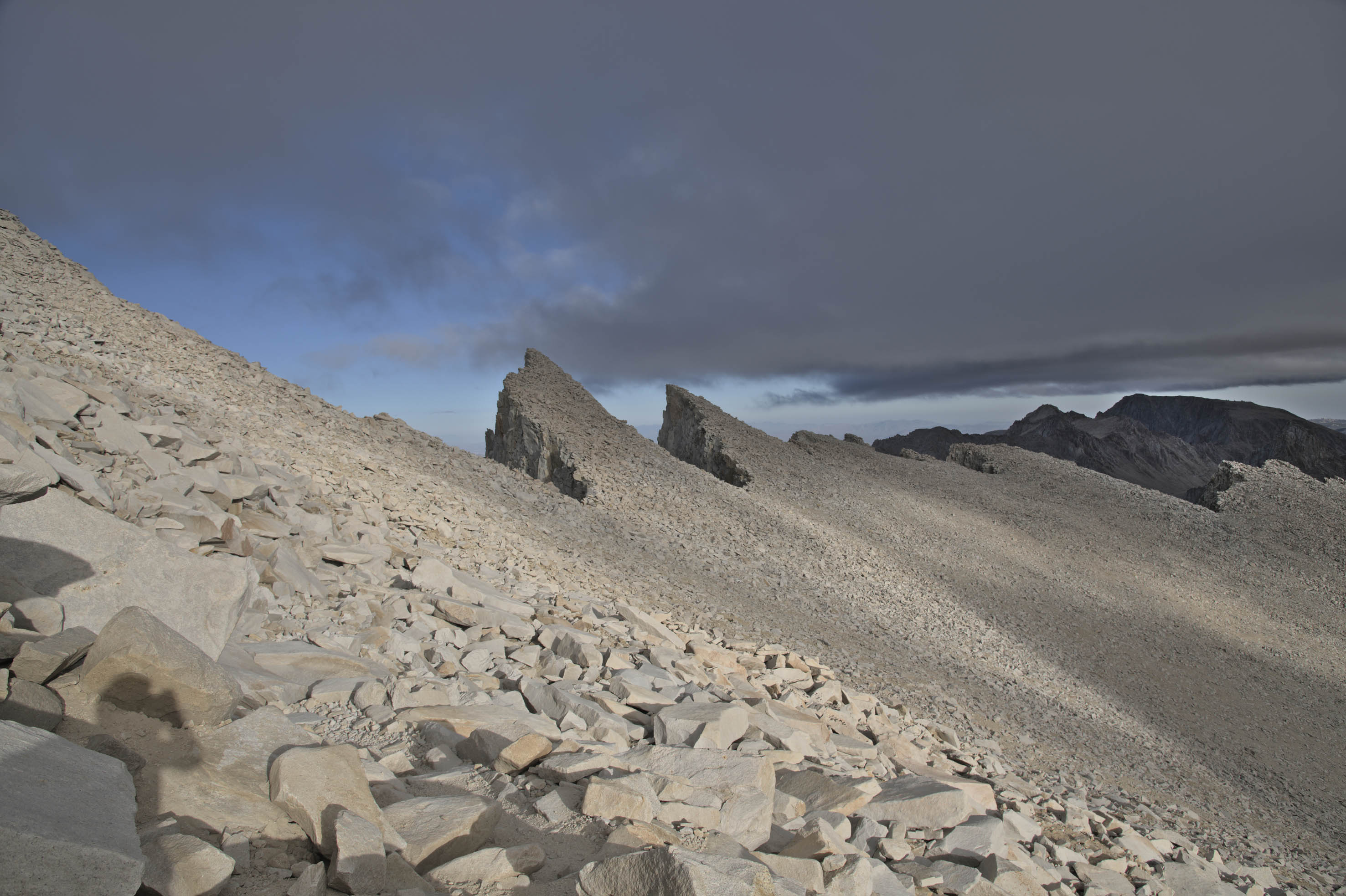
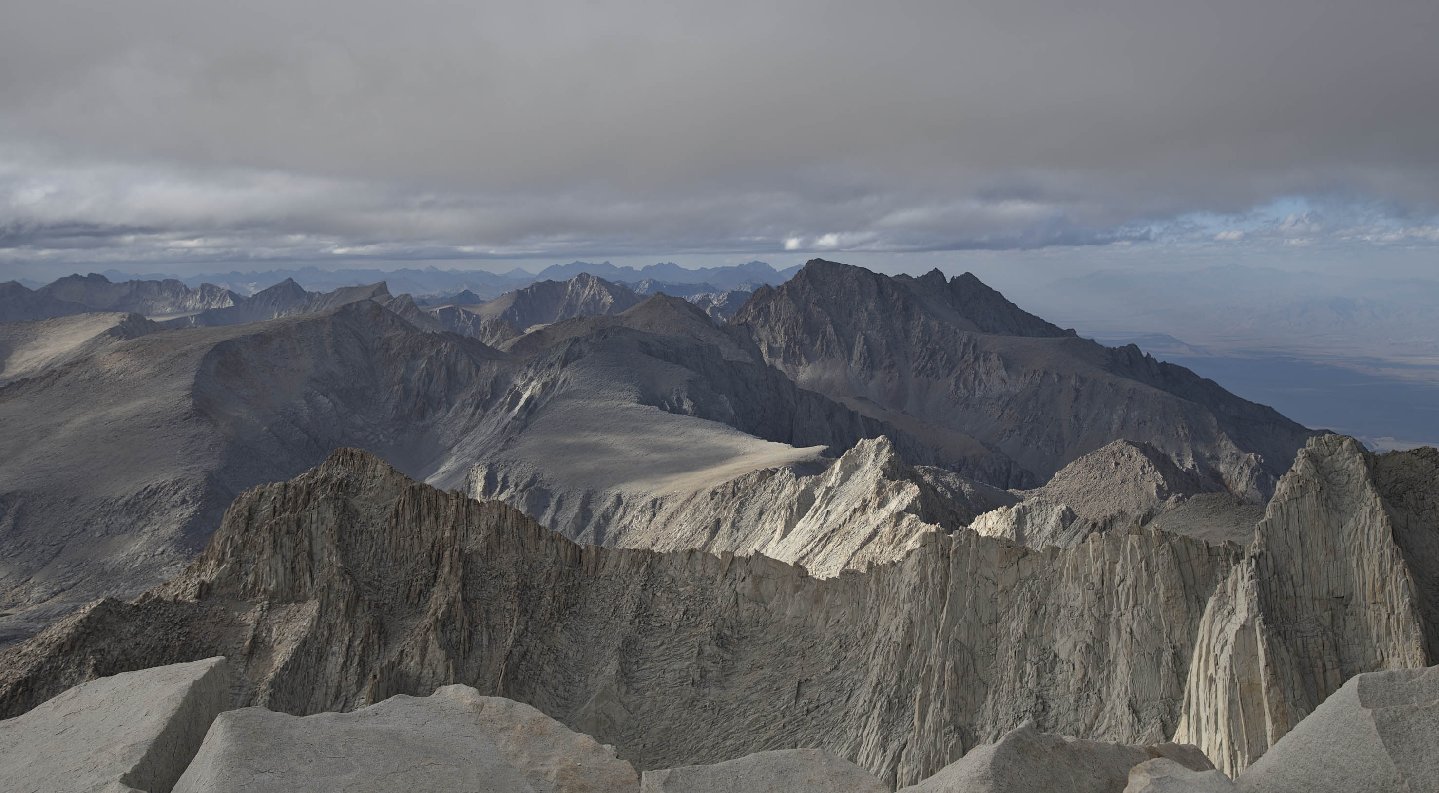
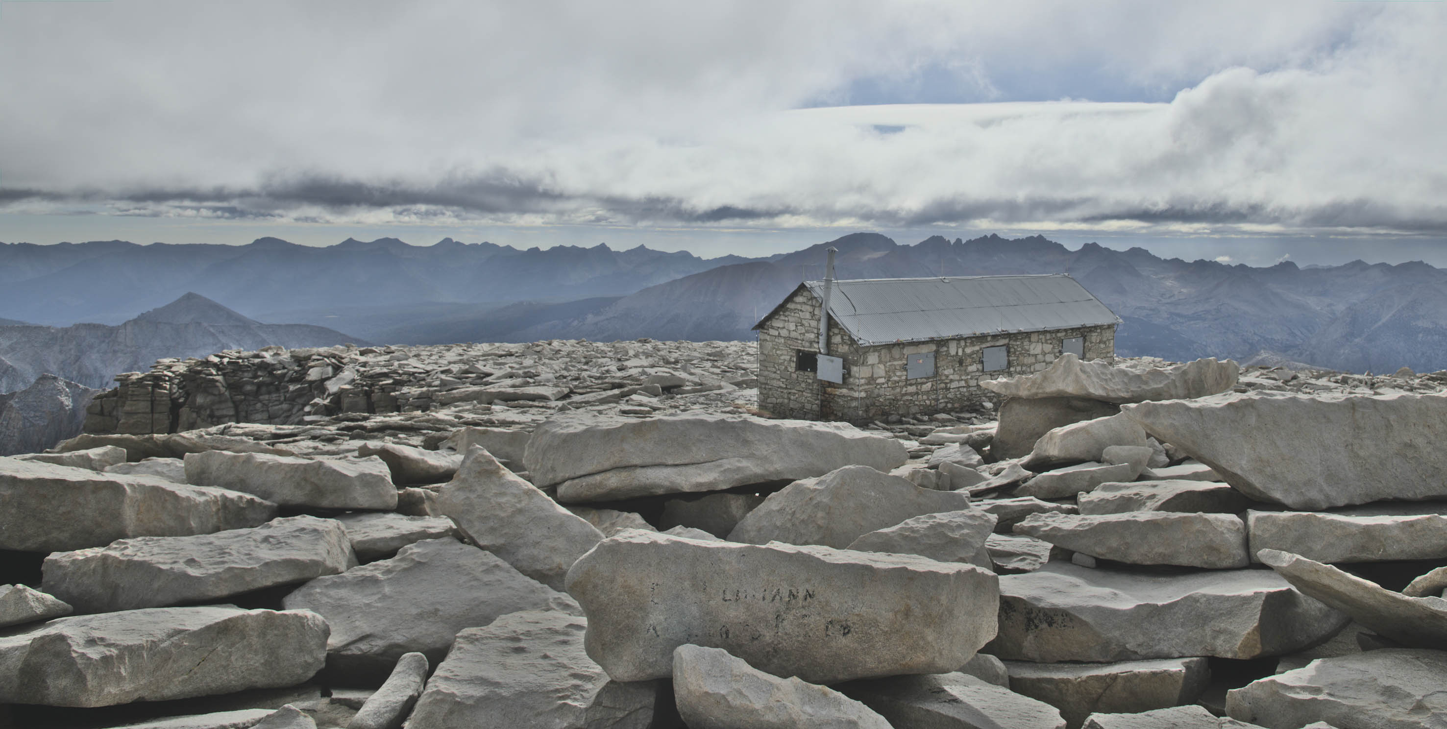
The air got thin and the wind grew stronger. The path became a walk over small boulders. Behind the 'Needles' the steep eastern side of the Sierra Nevada drops over 3000m in a steep run. A Smithsonian hut lies at the summit. Instead of exiting the walk at Whitney Portal, I decided to try a smaller section of the Pacific crest Trail and hitch a ride at the Cottonwood Camp instead.
The rest of the trail to Cottonwood Camp was very quiet and tended to be visited by hardy PCT hikers. The trail exits Sequoia Kings Canyon NP and into the Golden Trout National Forest. As someone who rarely hitchhikes, I found a ride after waiting for only 30 minutes and only after one rejection. The driver and his daughter were picking up a car after she completed the John Muir Trail. I spent the night at the cute village of Lone Pine in the Owens Valley and indulged in some excellent tacos from a food truck. The 4 fillings I chose were carnitas, fish, beef and pork cheeks.
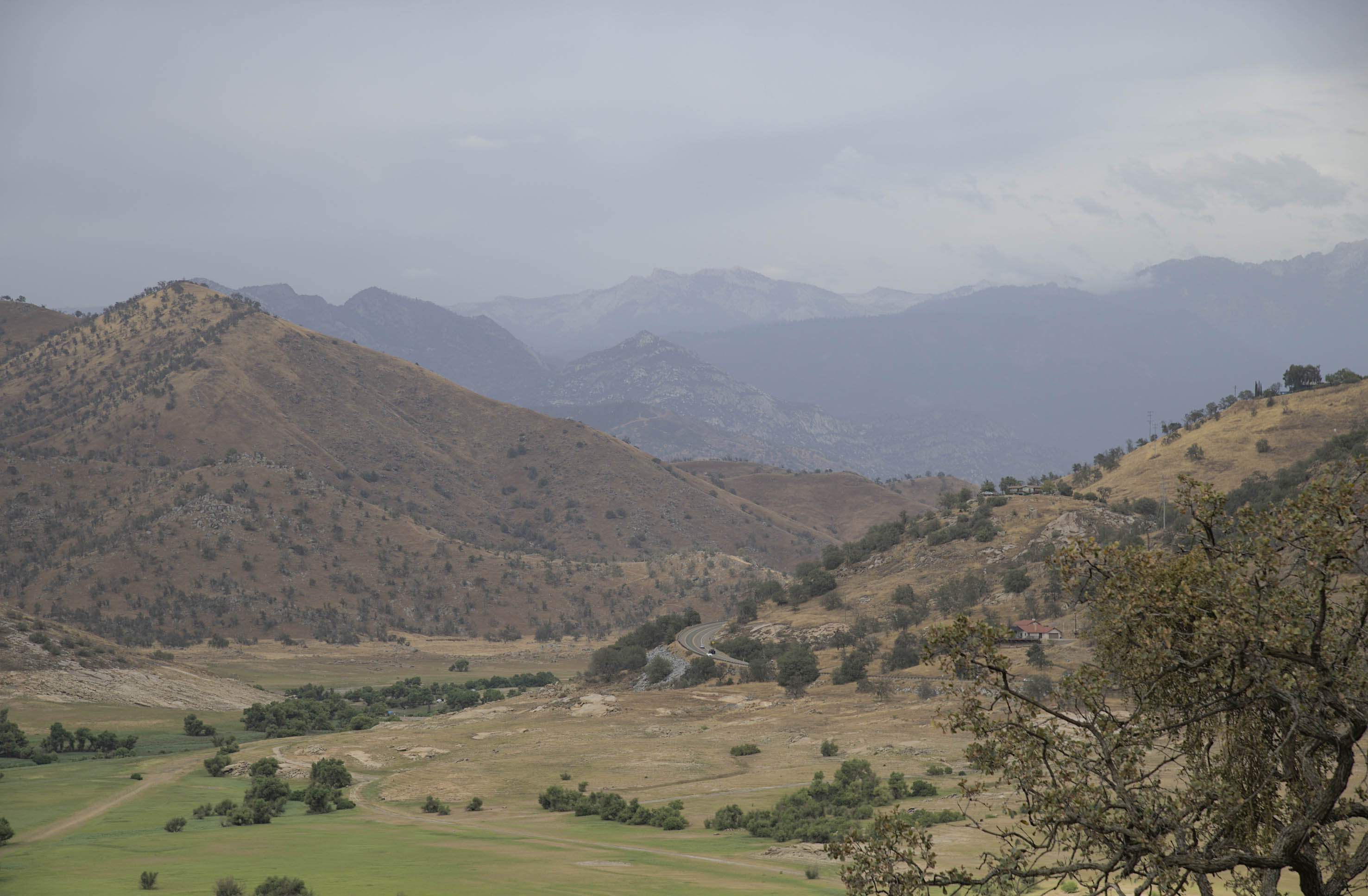
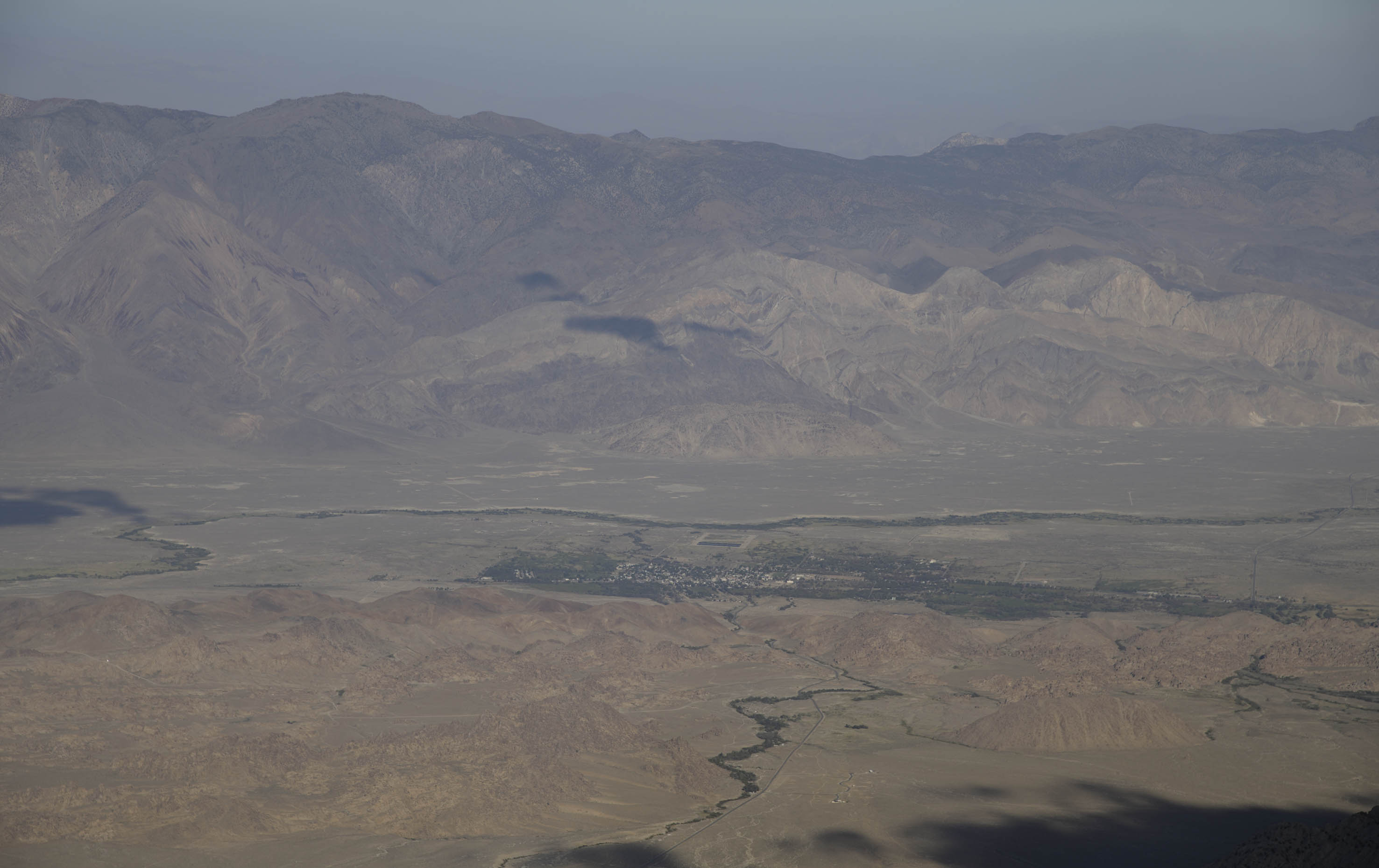
The valley is a world apart from the starting point in Giant Forest. Once a thriving farming valley, the rapid growth of Los Angeles in the early 1900s gradually robbed the valley of its lifeblood through an aqueduct. While there had been earlier plans to further improve the irrigation in this area, corruption and underhand tactics sealed the fate of the farming communities. Slowly but steadily the Owens Lake dried up and the orchards turned into a dustbowl. While the pace of water diversion was finally paused in the 1980s to save Mono Lake, all that remained in the Owens Valley were small towns serving tourists. Many Western films use the nearby Alabama Hills as a location and Lone Pine featured a western films museum.
For those willing to navigate the transport, this trip is a good way to see a variety of what the Sierra Nevada has to offer in around a week in the summer and early Fall. Additional advantages include easy permits and getting away from the crowds.
After a bus, another bus, another bus, an Amtrak train, a BART and a short car ride I was finally back in the Bay area 16 hours after I started.